For the Good of the Company – William Henry Barker and BC Packers
______________________________________________________
The language and content encountered in historical records may be offensive or emotionally harmful. Historical records preserved by the City of Richmond Archives reflect the society in which they were created. The quotations below are presented in full as written by William Henry Barker. If you have any concerns, please speak to one of our Archivists at 604-247-8305 or email archives@richmond.ca
______________________________________________________________________
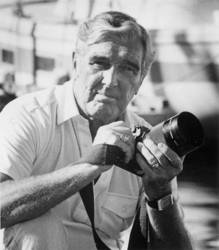
William Henry Barker (1853-1929) was a businessman who was instrumental in the development of the fishing industry in British Columbia. He was born in Manchester, England and after school and brief careers in his father’s shipping business and the merchant navy, emigrated to the United States. Settling in Oregon, he began a career in the fledgling salmon canning industry, rising through the management ranks of several companies. He formed the George and Barker Packing Company in Astoria, later amalgamating it with other companies to form the Columbia River Packer’s Association over which he attained a high level of administrative and managerial authority. He resigned from his position in 1901 to focus on the George and Barker Company, and as manager oversaw its expansion and construction of a new cannery at Point Roberts.
In 1904 he moved to Vancouver to carry on with the successful amalgamation of canneries into the British Columbia Packer’s Association, the largest fish-packing business in the province. He became General Manager and then President of the company. Barker was seen as a practical man who was very familiar with the business and well able to take care of the company’s affairs. Throughout his time at the company he insisted that they follow sound business principles, and although his language and attitudes were typical of his time, he fought strongly against the Federal Government’s policies on the hiring and licensing of workers based on their race. He promoted conservation of the resource by advancing the establishment of hatcheries and maintenance of spawning grounds. Mr. Barker was instrumental in “patriating” the company, incorporated in New Jersey when it was formed, and having it registered it in British Columbia.

During Barker’s 22 year tenure at BC Packers his outgoing correspondence was preserved in two letterpress copybooks. They have left us with an insight into a period of BC’s history when the expansion of the fishing industry was taking place, and a record of a loyal and tenacious businessman who’s primary focus was the welfare of the company. The letters deal with the day to day operation of the company, but the reader also peers through a window into the history of the time. He mentions historical occurrences such as the San Francisco Earthquake, the blasting in the Fraser Canyon which blocked the path of spawning salmon, the official “White Only” policies of the Government, the onset of motor boats in the industry and much more. The letters are addressed to many company officials, shareholders and government figures, but most are addressed to AEmilius Jarvis, the Vice-President of the company, who was located in Toronto and who replaced Barker as President when he resigned.
One of the things that most frustrated Mr. Barker was his perception of interference from the Government. The over-issuing of fishing licenses, interference in hiring practices based on race, and treating the Company like a monopoly in its dealings were constant sources of irritation, leading to him resigning as General Manager. Here are a few of his comments:
Jan. 7, 1908 – Politicians – “The writer has come to the conclusion that these politicians are good at promising, but use their pleasure about keeping what they promise. The writer does not like that kind of people; in fact, that business is disagreeable to him – kind of two-faced, and he would rather do most anything else.”
Nov. 20, 1912 – On licensing of independent fishermen – “You can well understand that besides being unprofitable, it will make the men more independent and hard to manage by being able to sell their fish to the highest bidder.”
May 27, 1916 – On Government refusing to award licenses to BCP – “The idea of the Department seems to be to cater to the fishermen’s vote. As a matter of fact,
nearly all these fishermen are of foreign birth, Swedes, Scandinavians, Russian Fins, Germans, Austrians, etc., and nearly all are Pro-German. There are localities that are being specially catered to where not a man has gone to the front.”
July 17, 1916 – Government interference – “We have in no way tried to monopolize anything, but have done a great deal for the industry in many ways. Our every effort has been for better packing – – cleaner and better canneries, and all the time for the conservation of the salmon. We own and operate at our own expense a salmon hatchery on the Nimpkish River, where we turn out 5,000,000 young salmon every year. We have given two sites for hospitals; one at Green’s, Rivers Inlet, the other at Alert Bay, and we help to maintain the hospitals. Our canneries are the best in B. C. The fishermen get higher prices for their fish and make far more than they used to. There is absolutely no reason to think of us as a monopoly, except perhaps the jealousy of some of our competitors who want something we have, and perhaps the desire of the politicians to use the fisheries for political purposes. We must either go ahead or backward. I think that I have demonstrated that I can manage the business fairly well, but I cannot manipulate the Government. You or someone else must do that. To tell the truth I am beginning to feel discouraged.”
Dec.12, 1919 – More Government interference – “Quite a number of these returned men fished at Rivers Inlet and Bella Coola, and a few elsewhere. They did fairly well considering they were new at the business, but only caught about half the number of fish that the Japanese and experienced fishermen caught. You can see that we were forced to give our valuable nets and boats to these inexperienced men, and we must say, that considering their inexperience, they did fairly well, although the loss to us was considerable.
This continual changing of the regulations is almost unbearable. We don’t know what to
expect; there is absolutely no stability to the Government regarding the fishery regulations.”
Feb.12, 1920 – Resigning as GM over Government interference – “I might say that one reason for my wishing to get rid of the responsibility is the attitude of the Government towards the business. I do not think they are antagonistic to us any more than to others in our line, at the same time, the uncertainty as to what they will do and may do, over which we have no control, keeps one in a constant worry, and interferes very much with the successful working of the business.”
Aug.28, 1916 – On the exclusion of Japanese fishermen – “Japanese fishermen – who are British subjects – are being forced out, and we are told by the Department that it is the intention to force them out entirely. The Japanese fishermen thoroughly understand the business, and work conscientiously and hard, fish or no fish. The Department’s excuse or reason for forcing out these Japanese fishermen is said to encourage white permanent settlers along the Coast. White men can do very much better than fish, as we cannot pay any price asked which would afford them as good a livelihood as they can get in other directions. On the Skeena River, and Fraser River also, the Japanese fishermen average four to five times as many fish as the Whites. Of course there are some few White men who do equally as well, if not better, than the Japanese, but the majority take to it as a temporary employment, and make nothing themselves, and just simply use up and waste our gear. You should personally be well aware that along the Coast there is very little show for White fishermen to establish homes and use up the greater part of the year when not engaged in fishing, in agriculture. There is very little tillable land along the Coast and as we have stated, White men can do so much better in other lines, and they only fish when they can get nothing else to do. In other words, they are not at all reliable.”

Aug. 15, 1922 – “RIVERS INLET – We operated as formerly two Canneries – the Wadhams and Brunswick. A strike occurred with the white fishermen – who are mostly Swedes and Finlanders – and are Bolsheviks and had a strong German feeling all through the war. The Whites, Japanese and Indian [sic] fishermen are about equally divided – about one-third each. The Fisheries Department have already given out information that the licenses of Japanese fishermen will be reduced 50% next year. This will throw us more into the hands of these foreign socialistic fishermen who no doubt will take advantage of it.”
Sept. 19, 1922 – “One other matter that the writer forgot to mention was the Department’s intention to curtail the licenses of Japanese fishermen. We are positive that without these Japanese fishermen on the Naas and Skeena Rivers, no Cannery can successfully operate, and it is a shame to pick on the salmon industry the burden of this Asiatic exclusion. They are here and will be employed somewhere, and why not in the fisheries where they are doing good work.”
Jan. 31, 1923 – “Regarding the Government’s action towards Japanese fishermen, we thought best to procure a Naturalization Certificate from one of our Japanese fisherman and enclose a copy herewith. You will note that the Dominion gives to these Japanese Naturalized Citizens all the benefits and privileges of any other Citizen. It would seem that withholding or refusing to give the Japanese fishing licenses, that they are going back on their agreement with the Japanese. Can the Dominion of Canada afford to do this – may it not lead to International complications.”
Barker was so concerned about the Government’s licensing policies that he hired a detective from the famous “Pinkerton Agency” to go to Prince Rupert and monitor the situation.”:
May 12 and 26, 1913 – To Mr. M. K. Dickinson of Balmoral Cannery – “Enclosed please find copy of a letter we have given to a “Pinkerton” man, whom we are sending up, first to Prince Rupert to try and find out to whom licenses are issued and all about the Cold Storage there, then he will come to you and present the letter as per copy enclosed. You will furnish him with a small launch when he needs it, and he will look out for our nets and be under your directions. We wish you to keep this entirely to yourself, not letting anyone know who this man is or what he is. You might say that he is working for us or anything you agree upon. We talked the matter over with you regarding having a patrol to see if our men sold fish or others stole our nets. Assist him in every way possible and keep this entirely to yourself. If you feel forced to talk it over with Mr. Buttimer then caution him not to mention it to anyone else. We think this man should run the launch himself after he has been shown the River.”
“We are in receipt of yours of the 21st instant, and note what you say regarding the patrol on the Skeena River. By all means keep the man you have. Probably the ‘Pinkerton’ man will not call on you for some time to come , as he has some work to do at Prince Rupert. In speaking of this man, please mention him as ‘No.29’ and not ‘Pinkerton’.”
Barker’s letters mention several disasters that took place during his employment with BC Packers. Here are a few:
April 19, 1906 – The San Francisco Earthquake – “We are all appalled by the terrific calamity that has overtaken the Metropolis of the Pacific Coast. As yet we only have meagre details of the dreadful calamity and are hoping that same will prove to be greatly exaggerated, but fear they will not. Please remember us to Mrs. Fulton. Hoping you are in good health and thanking you in advance for the report.”
Oct.6, 1913 – The Fraser River slide – “Mr. McIntyre, the Provincial Deputy Fish Commissioner, and Mr. Babcock, assistant to the Provincial Fish Commissioner, have made a trip up the Fraser to see how the Sockeyes were getting to the hatcheries and the spawning grounds, and found that very few have reached either the spawning grounds or hatcheries. Looking for the cause they found millions of fish just below the Skuzzy Rapids which are three miles above Hells Gate, which is also, as its name implies, a rapid and has been hard for the fish to get past. At the Skuzzy Rapids there are quite a number of eddies in which the fish would rest, dropping down from the rapid water and then go on. The Canadian Northern have been blasting their road bed right here, and have sent thousands of tons of rock and filled up these eddies so that the fish have had no resting place and have been unable to get by. A great many thousands have died worn out, being unable to get up. Mr. Babcock got powder from the Railway contractors and got their assistance, and has blown out some of the rock, and we understand that fish are now getting up. Just what effect this will have on our future big years we cannot tell, but we are inclined to think the situation rather serious.”
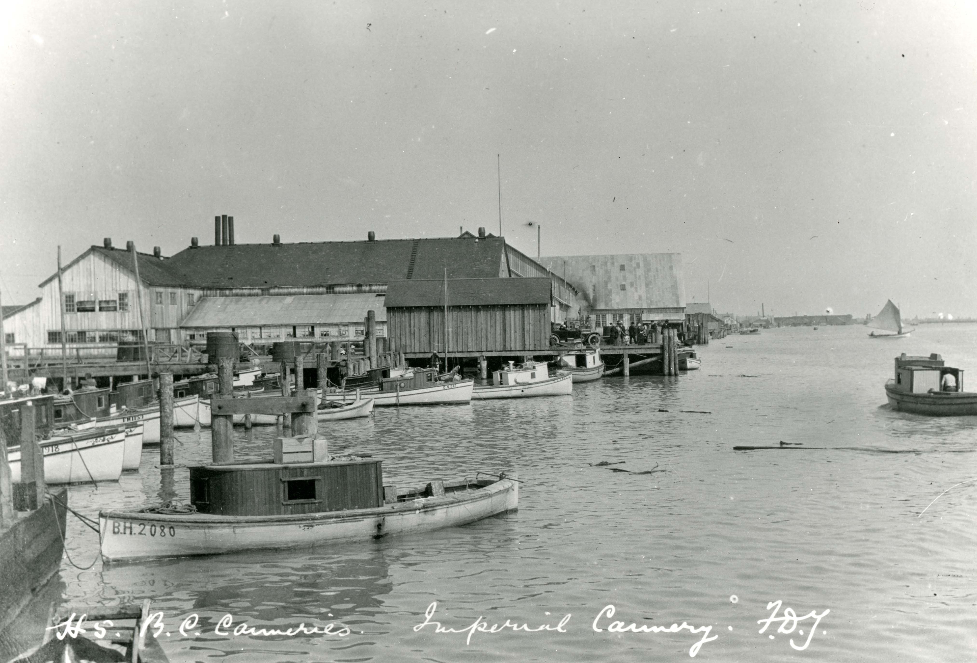
May 17, 1918 – The Steveston fire – “Regarding the fire at Steveston. This was quite a large fire, and occurred about nine o’clock in the morning. We got in touch with our Imperial Cannery and Cold Storage, and received ‘phone messages every half hour. The fire lasted, burning very brisk, until about 12 o’clock, burning everything up to our Cold Storage. You will remember that there was a break of 100 feet on the west of our Cold Storage, which property we have under lease as fire protection, and is very handy for space to moor boats and discharging coal for our Cold Storage use. Our large pumps at the Cold Storage, and hydrants we had (having the fire risk in mind when we erected the plant) came in very handy, and as we have stated, we had no damage except to two or three Japanese fishermen’s houses on the property behind the Cold Storage, which were covered by insurance.”

Barker was also very active in promoting BC Salmon in overseas markets and trying to get the best price possible for the Company. Their biggest competition came from the Americans who he claimed misrepresented their products as “Sockeye” and were trying to take over markets already held by Canadian producers. He also dealt with promoters trying to get the Company to invest in foreign fisheries, such as in Russia.
April 11, 1907 – To Prime Minister Wilfrid Laurier on tariffs – “The possibility of the Australian Government making a change in their tariff so as to admit our Canned Salmon, free of duty and maintaining a duty on same packed elsewhere, is so attractive and would benefit us so much that we cannot refrain from doing something on the subject. We are fully satisfied that you are aware of the benefits to Canada and particularly the Province of British Columbia, if we could have the excellent market of Australia, as we have that of New Zealand. You are also aware that the Americans have an immense advantage over us, as they have the inexhaustible supply of Salmon in Alaska, where their annual pack will average over 2,000,000 cases per year. These they can pack and sell at a profit, at prices that allow us no profit. They have the English, Australian and other markets on an even footing with us Canadian packers, besides having their own larger country entirely to themselves. The benefits to be derived by an exclusive market, like we have in New Zealand, would be felt all of our Province if not all of the Dominion. If it is impossible to get our Canned Salmon into the Commonwealth free, a preferential tariff similar to one between New Zealand and Canada would be very acceptable.”

June 8, 1907 – To the Minister of Trade and Commerce on American canners misrepresenting their product – “Our Agents in Australia called the attention of your Commercial Agent at Melbourne, Mr. D.H.Ross, of the attempt of packers of salmon in Alaska to mislead the trade and public by using the word ‘Sockeye’ on labels on salmon caught and packed in Alaskan waters. We beg to confirm what Mr. Ross has stated, that the name ‘Sockeye’ is a local name, and given to salmon frequenting British Columbia waters, and water of Puget Sound when on route to the Fraser River. Sockeye Salmon are known all over the world for the richness in oil, color and flavor, and, in consequence, are much in demand, bringing the highest prices paid for canned salmon. It is to take advantage of this demand and better prices that some of the U.S. packers in Alaska have labelled their salmon – heretofore known as ‘Alaska Reds’ – ‘Sockeye’. This Alaska Salmon is of good color, but altogether lacking in oil, and in no way compares with our British Columbia Sockeye. We understand that Mr. Ross has written you regarding this matter. We beg to second his efforts in our behalf, and would ask your good offices by writing to the Australian Government, with a view to stopping these packers from using the word ‘Sockeye’ on this Alaska fish. If they are allowed to deceive the trade and public by so doing, it will injure our trade and prices, and tend to lessen the business in this line with Australia.”
Dec. 24, 1907 – On investing in Russian Fishery – “Regarding the Salmon streams in Siberia. The writer knows little that is absolutely reliable. A representative of Mr. E. N. Jaliehanin, who has a concession from the Russian Government for the mouth of Amur River – said to be the best salmon river in Siberia – called upon the writer, and at his request, left a written statement of the proposition, copy of which I enclose. The same proposition was made to several parties, some of whom are well known to the writer – he thinks they are being looked into – it will surprise him very much if they are taken up. These Russians are, to use a slang expression ‘great grafters’; they seem to have quite an idea of the value of their exclusive privileges. The quality of their best fish is not equal to our British Columbia River Sockeye.”
Nov. 9, 1909 – On American poaching – “Talking to the Captain of the ‘Celestial Empire’ a few weeks ago – who was then fishing for us – he stated that the American boats – including the New England vessels – fished inside the three mile limit a good part of the time. On that trip three different American steamers had caught 450,000 inside the limits. I asked him where the patrol boats were; he said, one down here being fixed up and we met the other going up. The fact is, as near as we can tell, both the ‘Kestrel’ and the chartered tug ‘Joliffe’ spend too much of their time away from the fishing grounds, a good deal of it coming and going from Vancouver or Victoria, where they come for supplies, to get paid off every month, etc. No doubt they keep the poachers off when they are on the grounds, but one should be there all the time. They not only steal our fish, but prevent our vessels from using the best grounds.”
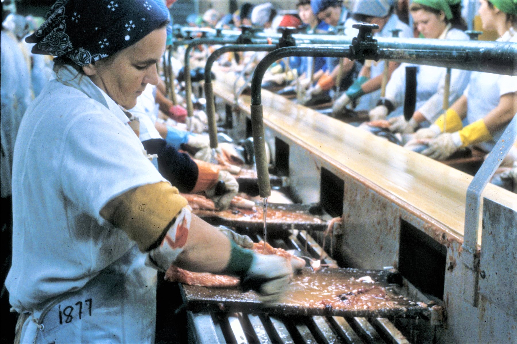
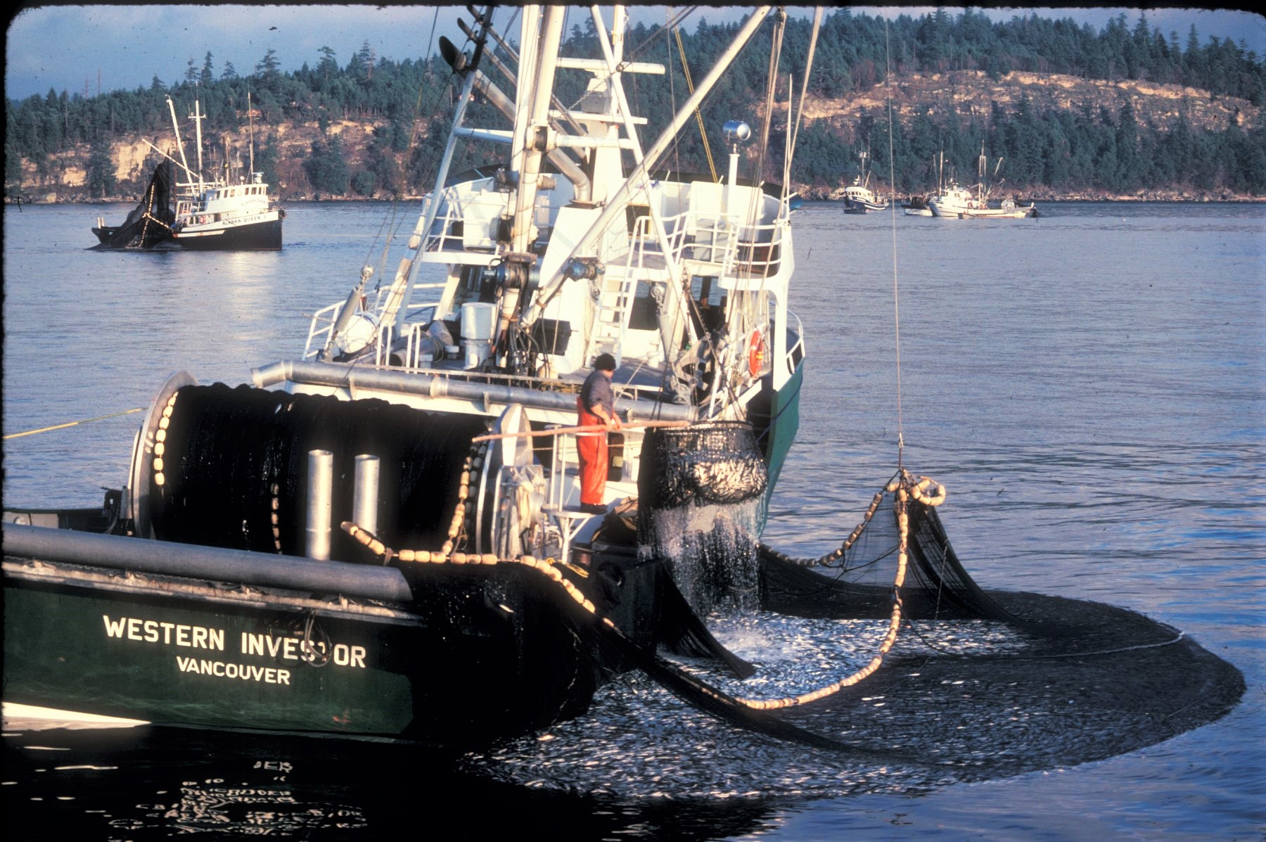
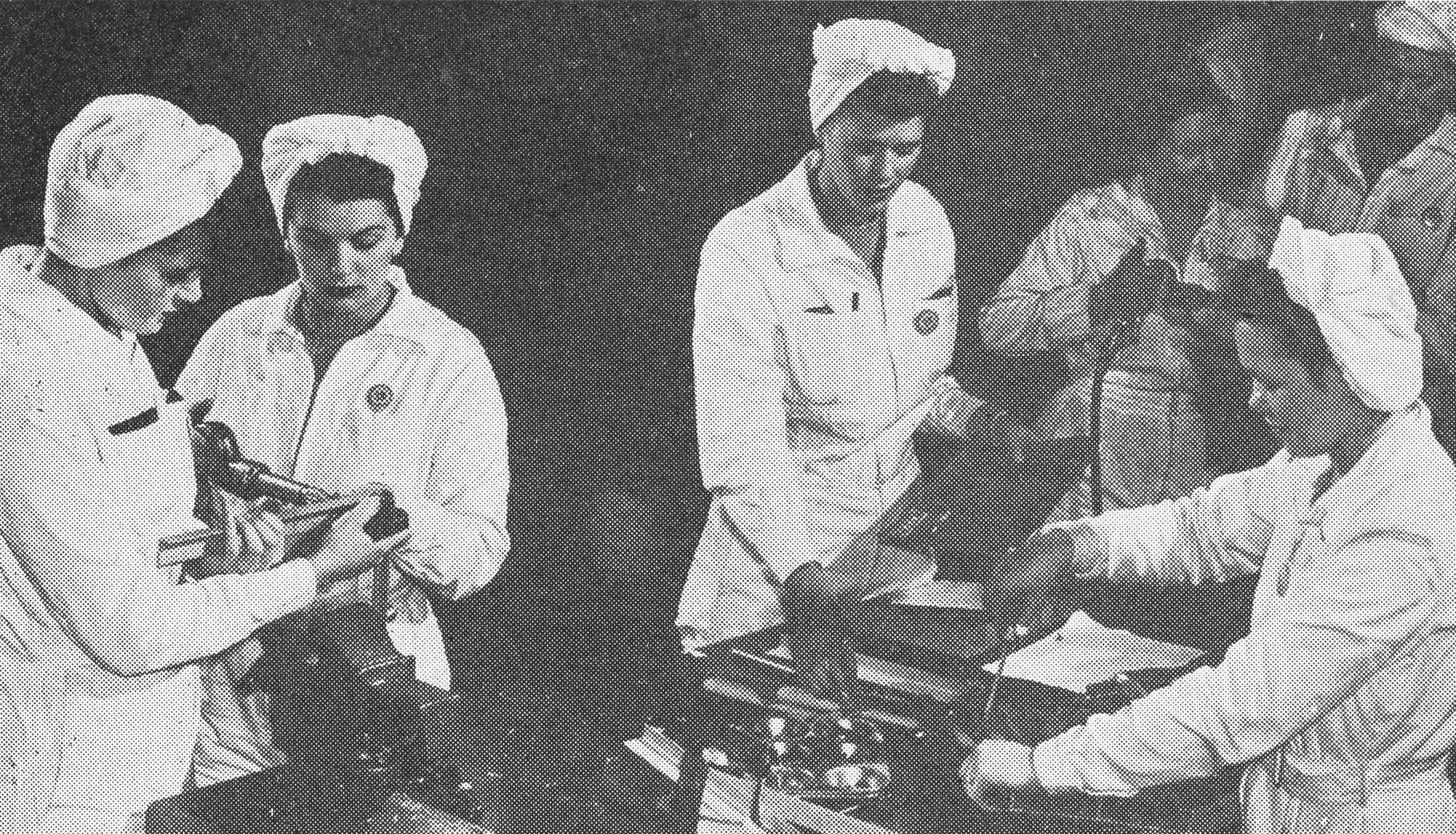
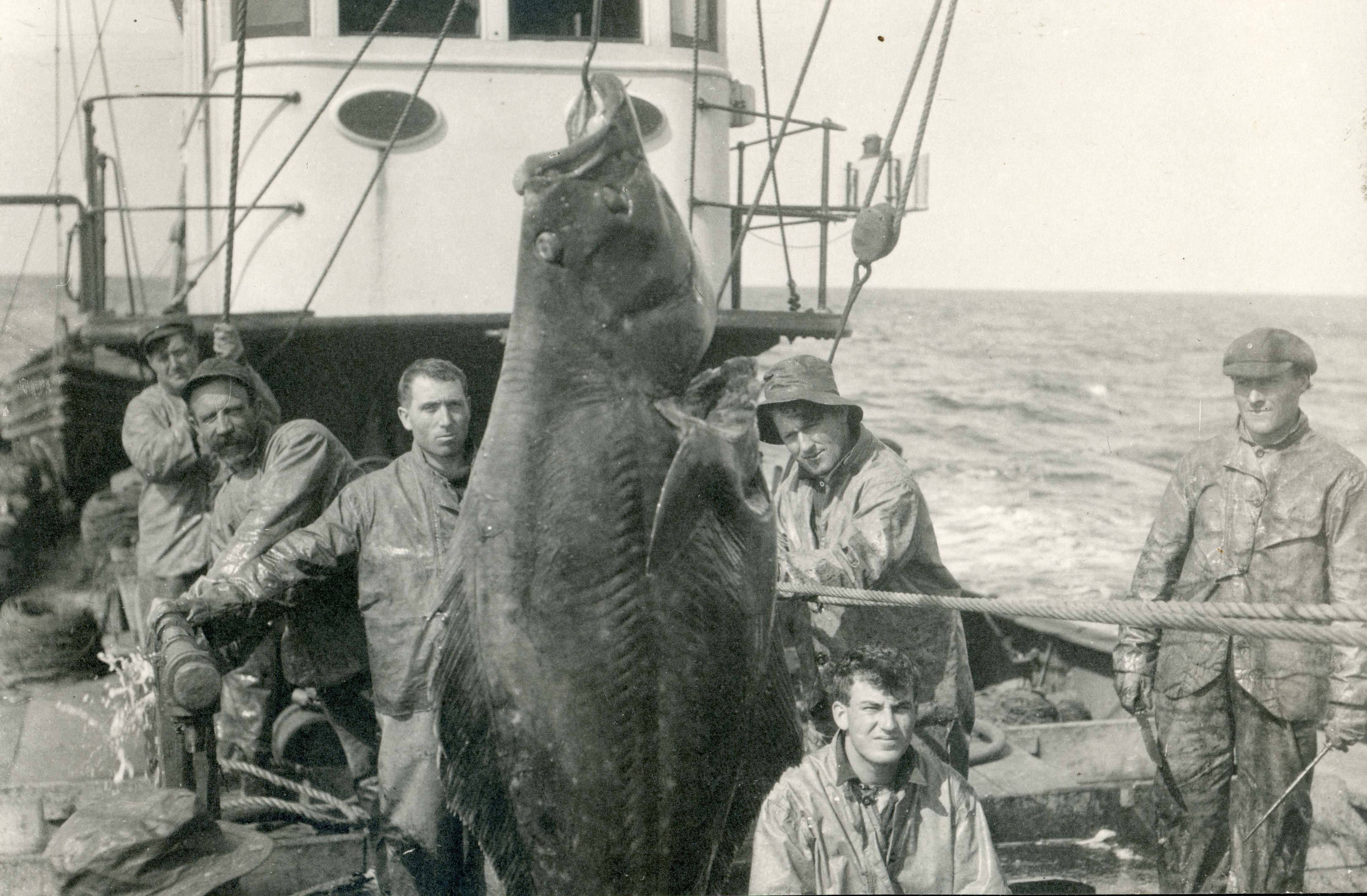
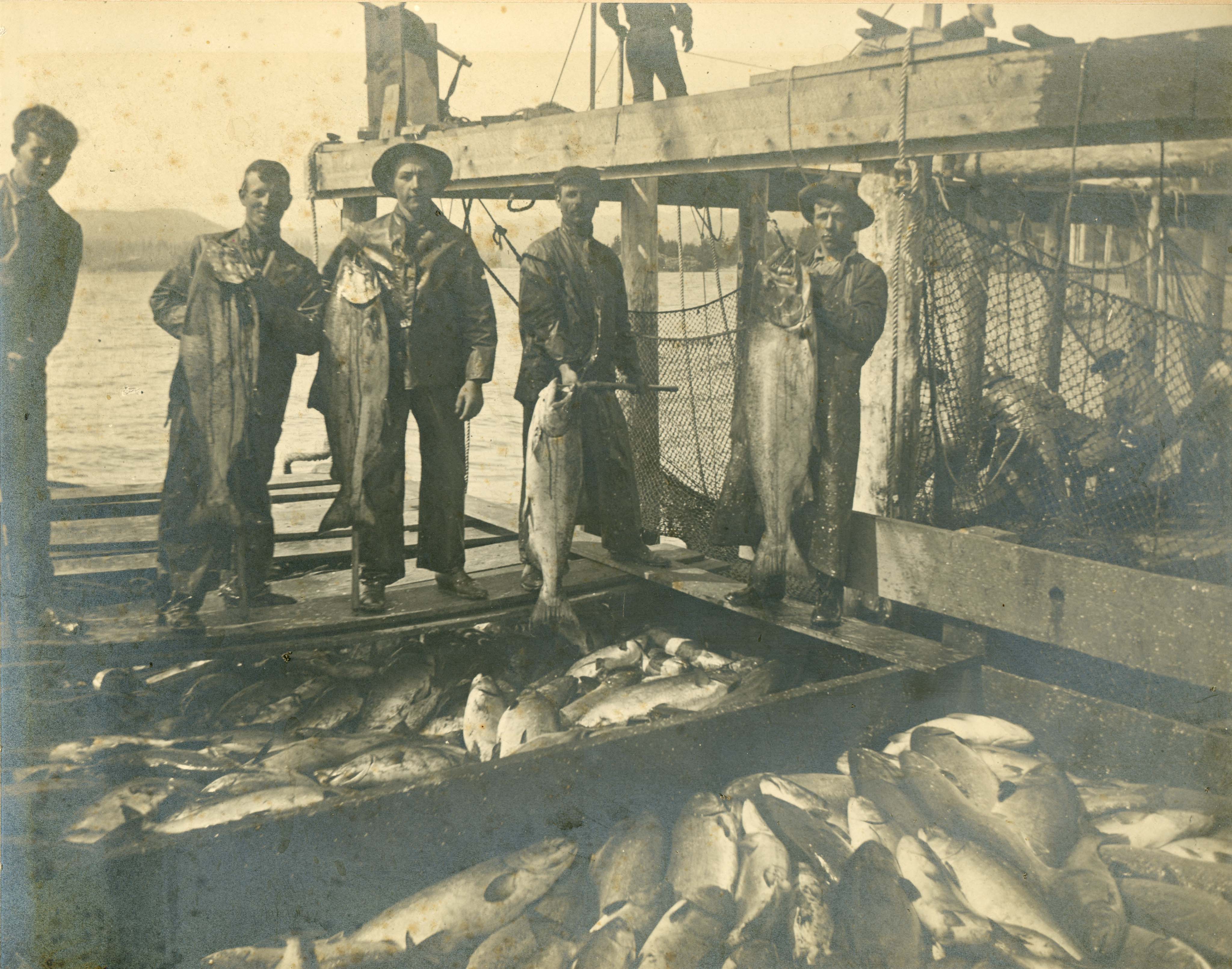
Mr. Barker felt that the operation of the Company depended on the conservation of the resource and the effective utilization of labour. His letters contain a lot of information about the month by month operation of the business, not only of cannery production, but also hatchery production and numbers of fry released for the year. BC Packers operated the only privately run hatchery in the Province on the Nimpkish River and operated a cannery and sawmill there employing mostly indigenous workers.
March 13, 1906 – On hatchery production – “I mailed to your address yesterday Mr. Babcock’s report which has interested me very much, and which I think you will find interesting. Mr. Ker has just gotten back from the Harrison Lake hatchery. He reports everything in nice shape. 26,000,000 Sockeye fry released out of 31,000,000 Ova collected. At the Pemberton, another Dominion Hatchery on the same chain of lakes, some 29,000,000 which, with Babcock’s Seaton Lake, 46,000,000 makes over 100,000,000; with Shushwap and Bon Accord Hatcheries which have somewhere near 40,000,000 more, this with the ova deposited naturally ought to ensure a good year for four years hence.”
Mar.10, 1922 – To Senator Bostock on preserving the Nimpkish River operation – “Our company as you know own and operate a Cannery at Alert Bay. We have had this plant for over twenty years now, and operate at our own expense a hatchery on the Nimpkish Lake, and also watch the natural spawning carefully, doing everything possible to increase the supply. We have been left alone here until last year, when a license was issued the Preston Packing Company to operate drag-seines on the Nimpkish River. The river is a small one and the supply very limited. The result was, the small pack was divided, the Preston Packing Co. getting less than 2000 cases and our Company getting 3500 cases of Sockeyes. We had fished this Nimpkish in a careful and economical way; the fishermen had made a good living even at the low prices we paid them, which ran from 7 cents to 15 cents per fish. The Preston Packing Co. caused us to pay 40 cents for Sockeyes last year; the result was that where we had a profitable business it became unprofitable, and of little or no value to the Preston Packing Co. These fish we have bred, and we think we have some ownership in them, and to give anyone else fishing licenses on this restricted ground, means loss to all concerned and works a great hardship on us.”
Barker was puzzled by the fact that the Company paid around $3000 in taxes to the State of New Jersey annually, where it had been incorporated, but did no business there. He worked at having the Company registered in British Columbia where it actually operated.
March 14, 1908 – To AEmilius Jarvis on the company being incorporated in New Jersey – “When Mr. E.W. Rollins received his pro-forma Balance Sheet and Profit & Loss Statement, as shown at closing of our books on December 31st, he noticed the charge for taxes in New Jersey, and wrote us about it, asking if there was not some way so as to avoid this expense which is about $3,000.00 a year. We wrote him that we had wondered why the Company was incorporated in New Jersey, and if it could not be changed so as to make this saving. As you had a great deal to do with the organization of the Company, and know why it was incorporated under the laws of the State of New Jersey, perhaps you can let us know if it is possible to make any change and save these New Jersey taxes and other charges there, or is it desirable. We do not know just what would be necessary to accomplish this, and do not wish to do anything until we know whether there are any objections to its being done. Perhaps you could find out, (if you do not already know) just what we would have to do to make this change, if you think it advisable to make it.”
Jan. 22, 1909 – Branding – “During the past year quite a considerable amount of new machinery and some new buildings have been purchased; also the ‘Clover Leaf’, ‘Arrow’ and other brands, all being additional assets.”
March 16,1910 – On incorporating in British Columbia – “We are mailing you to-day under another cover, 100 copies of our Bill as it was finally passed. We have not had time as yet to carefully go over the same, but feel satisfied that they are alright. Now the Bill has passed and we are duly incorporated under the laws of British Columbia, we presume that no time will be lost in winding up the affairs of the Company in New Jersey so that we can re-organize.”
Barker’s letters are also full of historical data about fisheries in the early 20th Century. He was present for the conversion of the fishery to gasoline engines, a change that he did not fully agree with, concerned about overfishing using more efficient boats and the expense to companies. He also commented on the types of fishing used during this period, some of which are no longer used.
Feb. 8, 1917 – On motor boats for fishing – “Regarding motor boats for fishing. You can well understand that a boat provided with a motor will have a decided advantage over a boat propelled by oars or a sail. We figure that one motor boat is fully equal to two ordinary fishing boats. We understand the Department also came to this conclusion, and in the interests of conservation, refused to allow them to be used in the North. We figure there are about 2000 fishing boats in Northern B. C. It would not be practicable to put gasoline motors into the old boats. This we have found from experience on the Fraser River. To build a new boat an equip it with a 5 H.P. engine would cost at least $500.00, perhaps more, and if it is done by one or two Packers (and we fear that it will be), all will have to follow suit. We figure that it would cost our Company at least $250,000.00 to make the change, which is altogether unnecessary, particularly at this time. Then, the Indians [sic], Japanese, and the kind of white men we use in the North for fishing, know little or nothing about a gasoline engine and would be in trouble all the time. It would mean a machine-shop at each Cannery. The cost of gasoline too would be quite heavy and all add to the cost of packing. The bulk of the $1,000,000.00 which the change would cost, would go to the United States where all the small gasoline engines are made; the hardwood and hardware for the boats also come from there. We were under the impression that the Government were trying in every way to keep money in the Country – stop all extravagancies or unnecessary expense, but it seems not.”
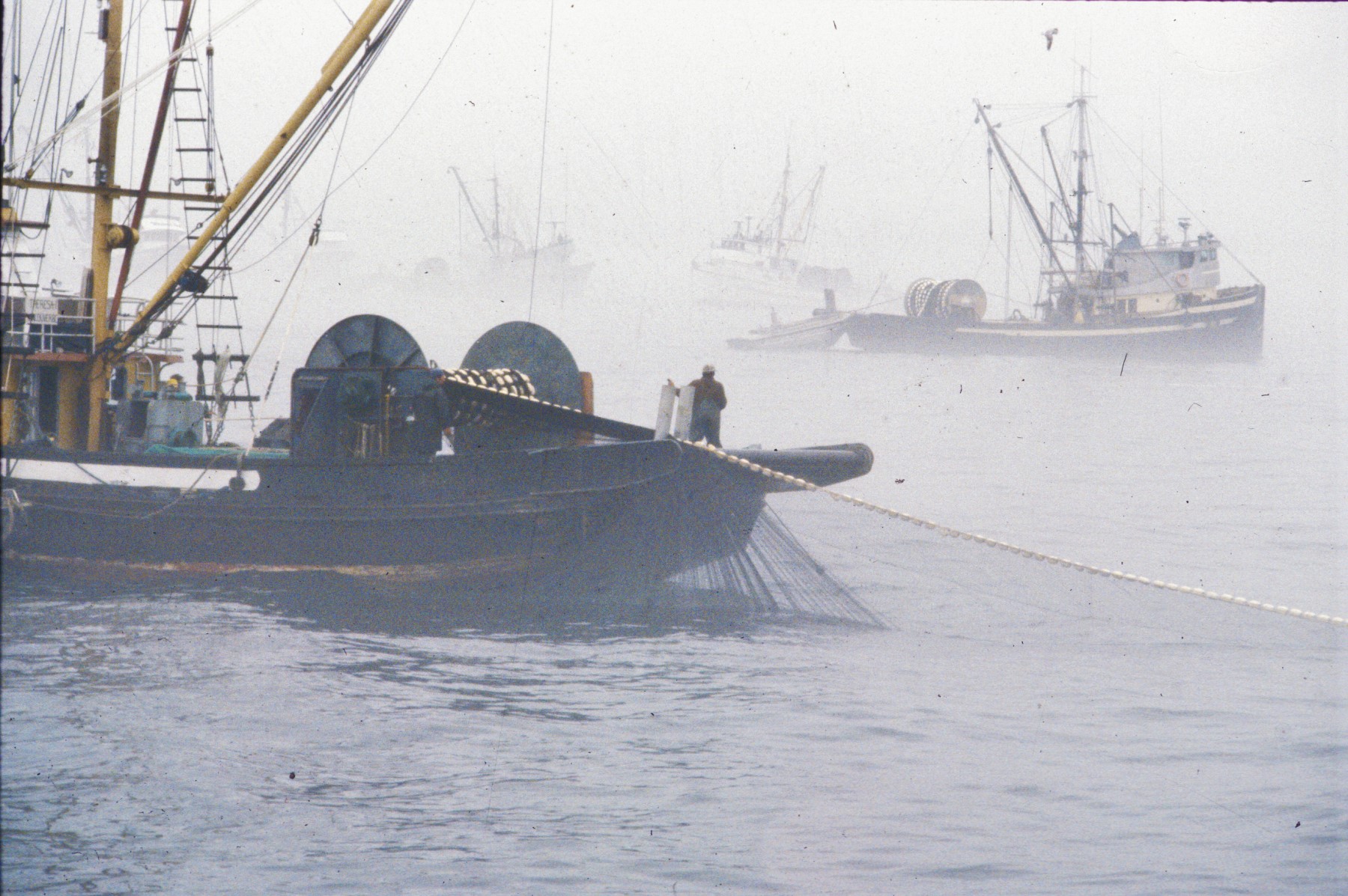
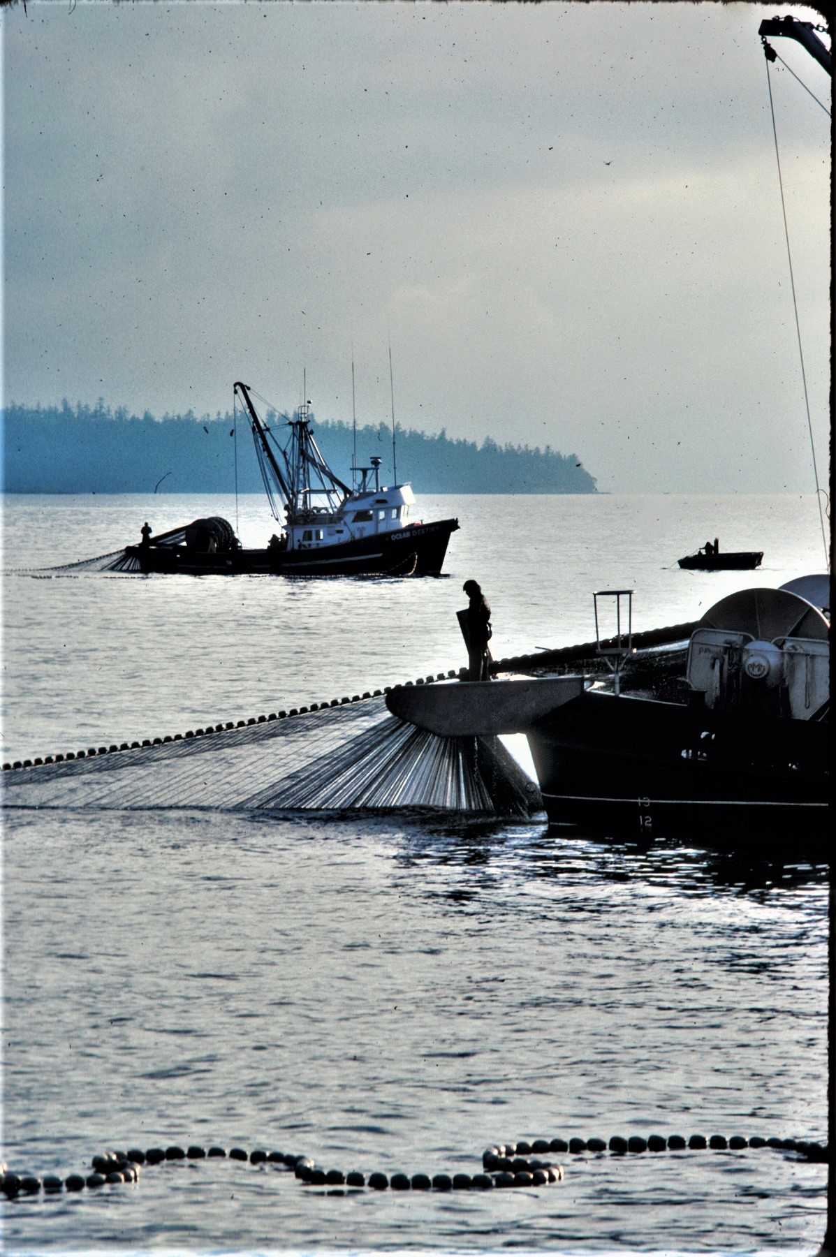
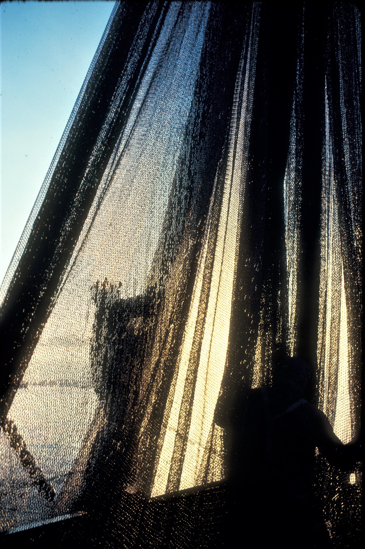
Aug.30, 1920 – Types of fishing employed – “Regarding the annual visit of Mr. W. A. Found, now Deputy Minister of Fisheries, and the Hon. C. S. Ballantyne, Minister of Marine & Fisheries, with both of whom we have had meetings and protested against the continual change of regulations regarding fisheries, it seems that Mr. Found has taken into his head that one method of fishing is more disastrous than others, when we think entirely otherwise. There are four methods of fishing for salmon on this Pacific Coast. The one most commonly used is as you know the “gill-net”, which drifts with the tide and fishes both ebb and flood, but fishes best just before and after slack water, both high and low tides. The trap method of fishing is of course a fixed appliance. Netting, both wire or cotton fixed on piles driven at right angles to the shore which lead into hearts and from them into a pot and spiller through tunnels. These of course can only be driven where the shore slopes out and the driving is good and where the fish run. They are not much used in British Columbia. The purse-seine is an appliance ranging from 300 to 600 fathoms in length when hung and 120 to 150 feet deep. They have floats or buoys on the cork line and rings fastened to the line on the lower end of the net through which runs the purse line. These purse-seines are operated by a power boat of from 40 H.P. to 50 H. P. and manned by about eight men. They are really a floating trap which surround a school or quantity of fish and purse them up with the power used and then brail out the salmon into the boat. The other is the drag-seine, which can only be used on a sandy beach, which usually occurs near the mouth of rivers to which these salmon are going. This drag-seine is usually made of cotton, one end being tied to the shore, the net thrown out and a long line taken to the shore and hauled in by men; usually eight or ten men are used on a drag-seine. This latter is the one to which Mr. Found objects.”

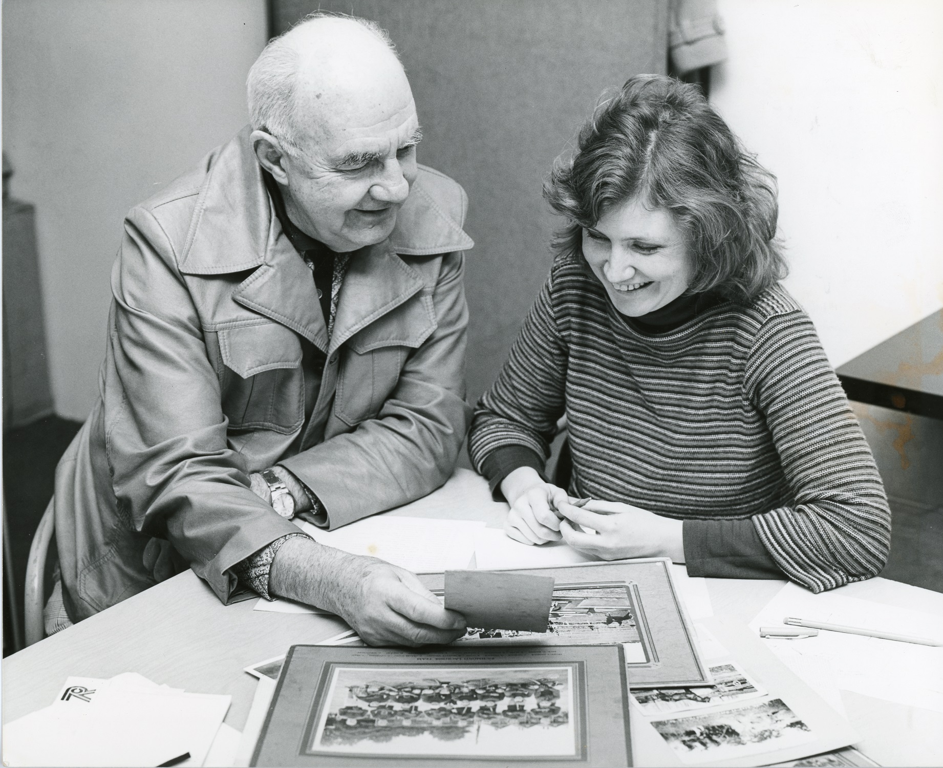
These are just a few excerpts from the 22 years of letters sent by Mr. Barker in his job as General Manager and President of BC Packers. The hardbound copies of the correspondence were held in the BC Packers Limited Archives until 2001 when they were donated to the City of Richmond Archives along with many photographs and other records. The letters are very fragile and it was decided to transcribe them into a searchable database. Esther Rabinovitch and Carol Farrell, volunteers from the Friends of the Richmond Archives, took on the painstaking job, putting in countless hours working from seemingly endless copies and deciphering hand written notes. The transcribed letters are available for interested researchers online at https://www.richmond.ca/cityhall/archives/exhibits/barkerletterbooks.htm?PageMode=HTML

William Henry Barker remained in Vancouver after his resignation and passed away on January 9, 1929. He was survived by his wife Orpha, three sons and two daughters.
“…I beg to say that my first thought and every effort will be for the success of the Company.”
William Henry Barker, September 27, 1906