What’s in a Name – Richmond

The place now known as the City of Richmond is located in the traditional and unceded territory of the hən̓q̓əmin̓əm̓ (Hunquminum) speaking people. They lived on and moved throughout the area using the many natural resources available to support themselves and their culture.

The arrival of non-Indigenous settlers in the 1800s began changing the land into what we know today. Mostly farmers, they began the process of dyking and draining and the construction of roads. Eventually they organized and submitted a petition to the Lieutenant-Governor in Council requesting the incorporation of a municipality under the name of the Township of Richmond, allowing them to collect taxes to help pay for continued development.

Richmond, North Yorkshire was the first place to have the name. It was founded about 800 years before Richmond, British Columbia. Photograph from https://www.richmond.org/Visit.

Richmond is believed to be the most common place name in the world. There are at least 105 locations on the planet called Richmond, six in Canada including this one. The original Richmond was founded in 1071 in what is now Yorkshire by Count Alan Rufus on lands granted to him by William the Conqueror after the Norman Invasion of Britain in 1066. The name comes from Norman French, “Richemonte,” meaning “Strong Hill.” Count Alan built a Norman Castle on the banks of the River Swale and the town grew up around it. The area became the seat of the Dukes of Richmond whose descendants travelled around the world naming the places they found after themselves. Other places were named Richmond by people who had a connection with older Richmonds, spreading the name even further.

The naming of Richmond, British Columbia is one of those historic events in which the reason for choosing the name was not officially documented. We know when it took place and who the participants were but not the motive behind it. This is further complicated by there being a number of people involved who had a connection to other places named “Richmond.”

Hugh and Jennie McRoberts – Richmond, New South Wales, Australia

Hugh McRoberts is acknowledged to be the first non-Indigenous settler in what is now Richmond. He was born in Belfast, Ireland in 1814 and emigrated to Australia with his wife in the 1840s where his daughter Jennie was born. In 1849 he set off for North America and made unsuccessful attempts at gold mining in California and at Yale on the Fraser River.

Hugh McRoberts, BC pioneer and Richmond’s first farmer.
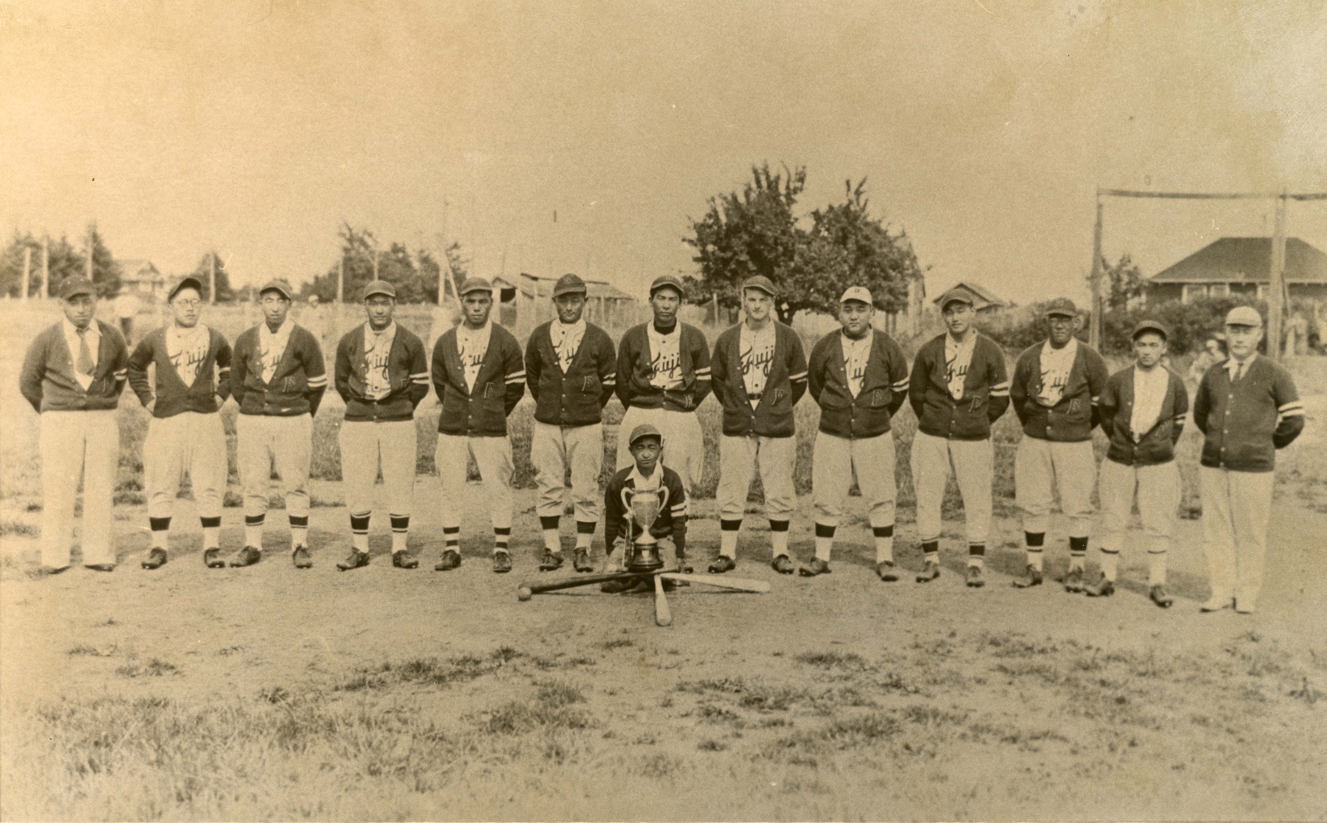
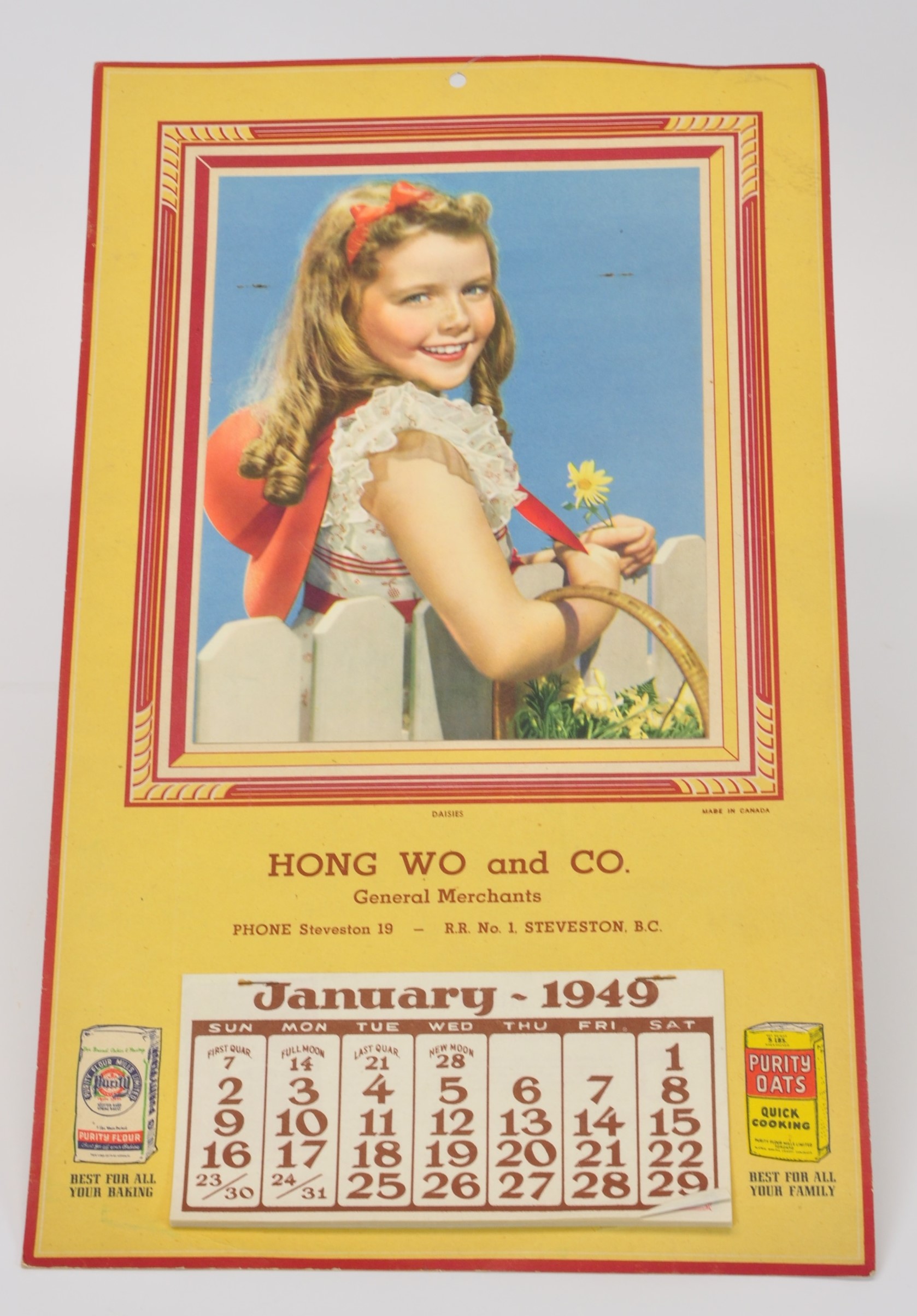
City of Richmond Archives photograph 1978 2 29.

After failing to make his fortune gold mining, he was awarded a contract from the Colonial Government to build a road between Yale and Boston Bar and a trail from New Westminster to the river mouth, earning enough to bring Jennie to British Columbia and to buy some land. Around 1860 McRoberts pre-empted 1600 acres on the Vancouver side of the North Arm and on Sea Island where he built a house and established a farm, built the first dykes in what is now Richmond and raised crops such as wheat, apples, plums, cherries, pears and potatoes and raised cattle.

A sketch of “Richmond View” by an admirer of Jennie McRoberts done in 1863. He described it as “a poor attempt to represent on paper one of the most lovely spots in B.C.”
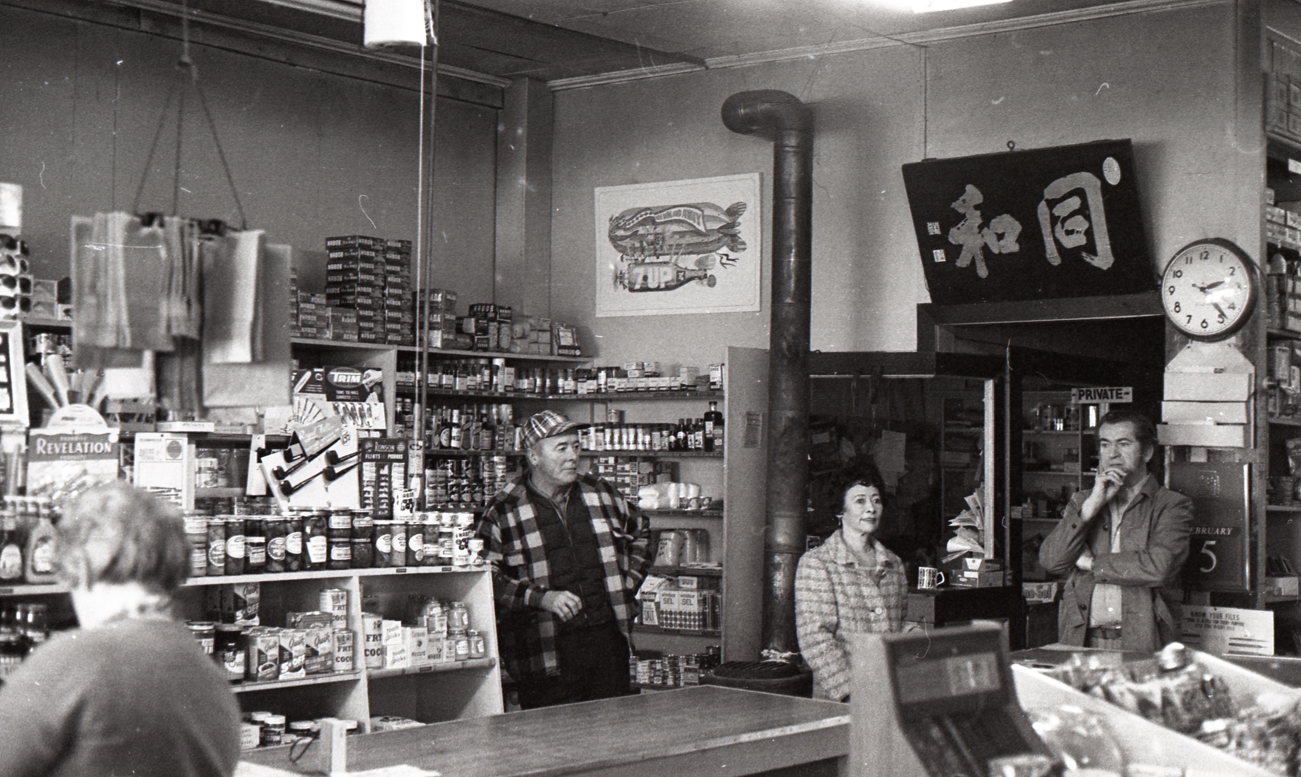
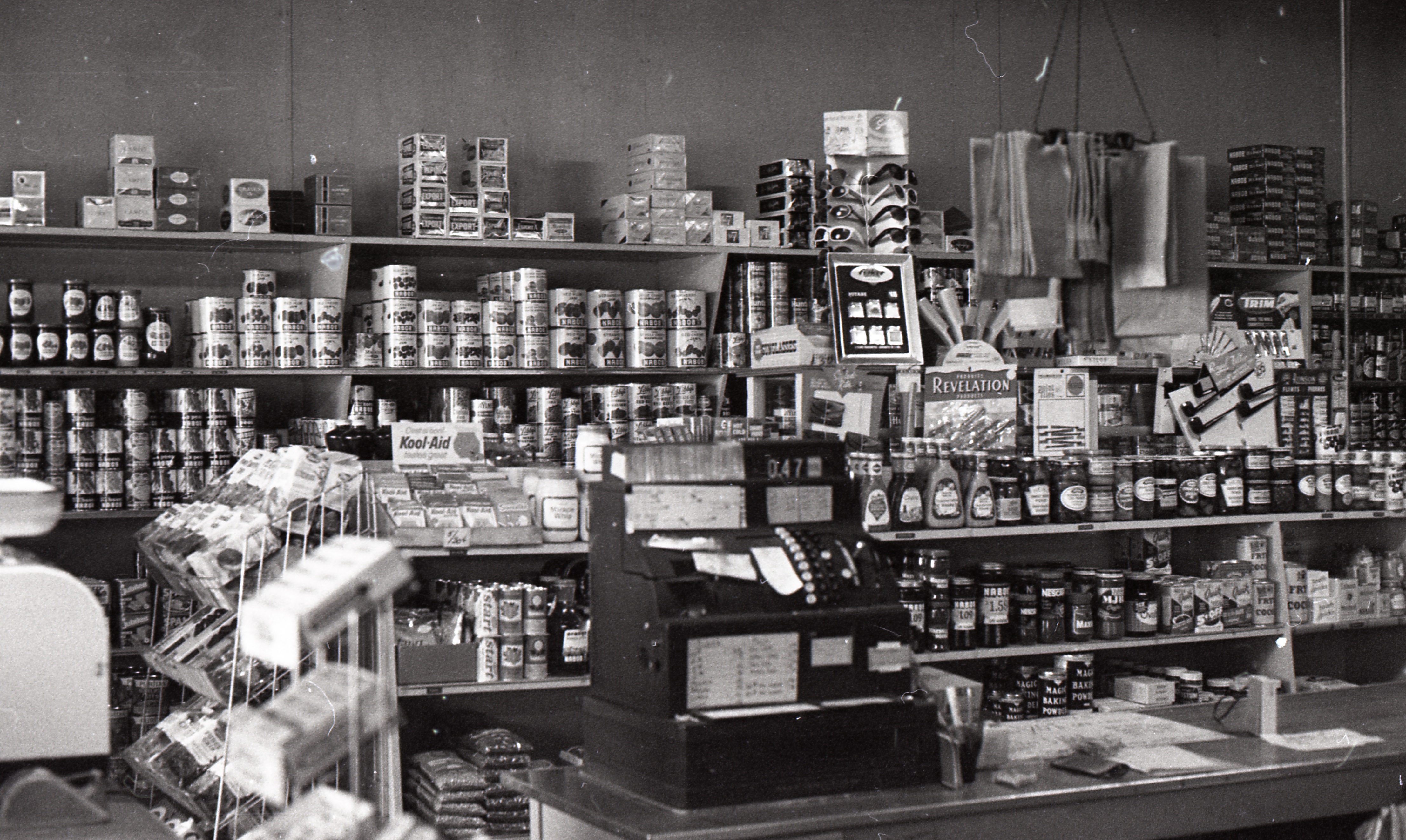
City of Richmond Archives photograph 1987 30 6.

Before long he owned nearly half of Sea Island, which people of the day referred to as “McRoberts’ Island.” His daughter Jenny named the house he built at the farm “Richmond Place” and their farm “Richmond View” because it reminded her of “Richmond” New South Wales, near where she grew up. This was the first time that the name “Richmond” was associated with the place we now call Richmond.

Hugh McRoberts’ house on his Sea Island Farm, Richmond View. By 1862 Richmond View Farm was harvesting wheat and other crops for sale in New Westminster. The farm was acquired by Thomas Laing in 1894. City of Richmond Archives photograph RCF 23.

Hugh McRoberts had sold his farm by the early 1870s and moved to New Westminster where he had a dairy business. He passed away in 1883, “Leaving a long and interesting record as a pioneer, a good sturdy man of the best type,” in the words of early Richmond historian, Thomas Kidd. Jennie had married and moved to Victoria in 1864 so neither she or her father could be credited with influencing the original petitioners to name the new municipality Richmond, although they and their farm were well known, which may have had some bearing.

Hugh and Mary Boyd – Richmond, Yorkshire, England

Hugh Boyd was born in 1842 in the same part of Northern Ireland as Hugh McRoberts and came to British Columbia in 1862. He, like so many, made an unsuccessful attempt at gold mining in the Cariboo. Returning to New Westminster, he worked building the trail from New Westminster to the mouth of the Fraser River in association with Hugh McRoberts, the McCleery Brothers, Alexander Kilgour and J. Mackie. In 1866 he partnered with Alexander Kilgour and they homesteaded on Sea Island on property abutting Hugh McRoberts’ Richmond View Farm. The property was known as Rosebrook Farm.

This map of McRoberts (Sea) Island shows the locations of Hugh McRoberts’ Richmond View Farm and Hugh Boyd and Alexander Kilgour’s Rosebrook Farm.
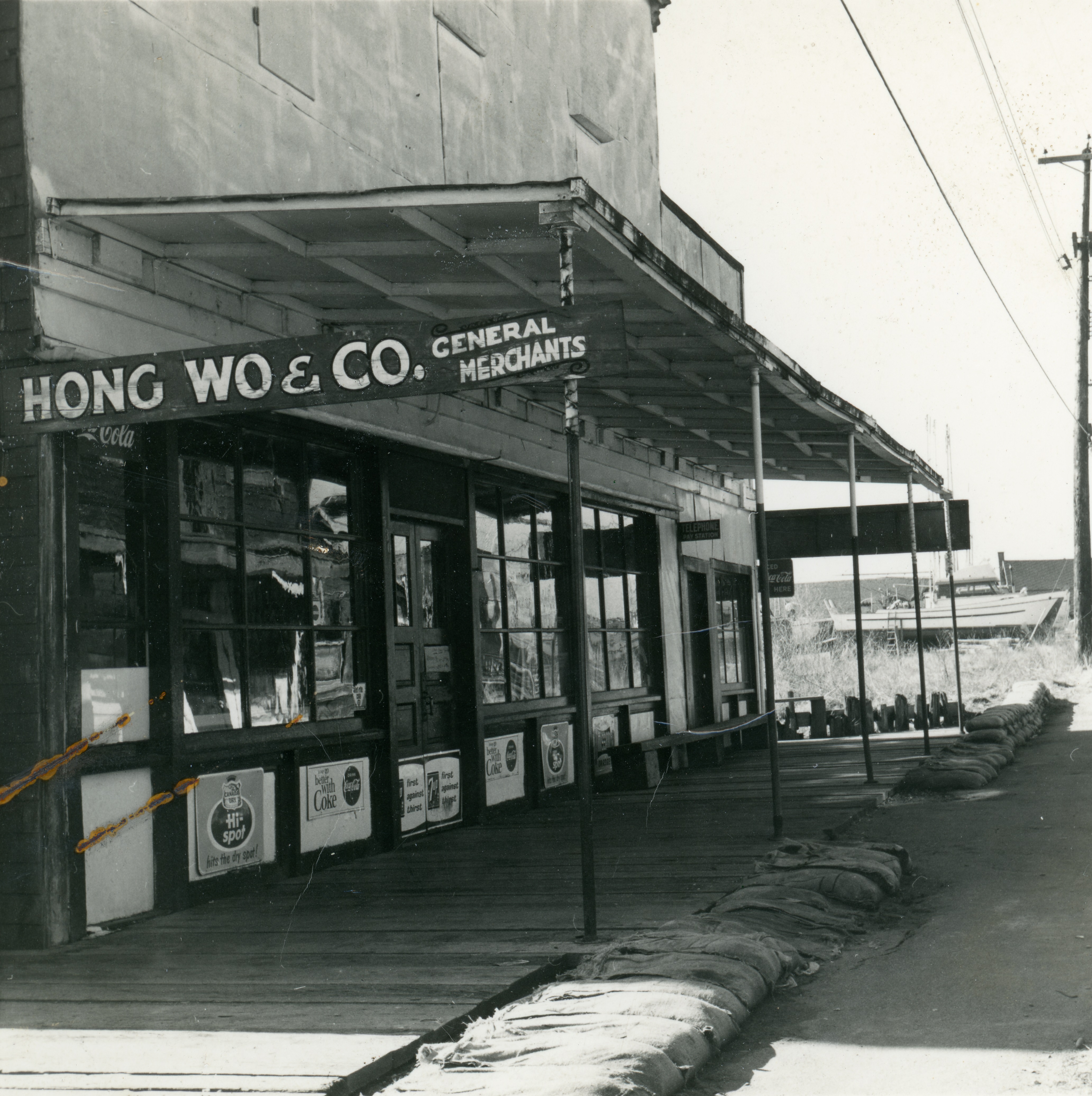
City of Richmond Archives photograph 1997 42 4 56.

In 1873 Hugh Boyd married Mary Ann McColl, the daughter of Sgt. William McColl of the Royal Engineers in New Westminster. Miss McColl was born in the original Richmond in Yorkshire, England. On November 10, 1879, when Hugh Boyd and the 24 other petitioners signed the request for the incorporation of the Township of Richmond, they did so in the dining room of the Boyd’s house at Rosebrook Farm. Hugh Boyd was selected as the first “Warden” (Reeve) of the new Municipality and Council meetings were held in the Boyd’s dining room for the next year until the first Town Hall could be built.

Hugh Boyd, the first Reeve of the Township of Richmond. City of Richmond Archives photograph 1978 2 5.

The Boyds left British Columbia and returned to Ireland in 1887 where they lived until their deaths, he in October 1931 and she in January 1952 at the age of 97 years. They named their home in Bangor, Northern Ireland, “Richmond.” Mrs. Boyd maintained that Richmond was named in her honour. In a letter to Major Matthews, the City of Vancouver Archivist, in 1944 she said, “The name of Richmond was decided on as an honour to me, and the name of the town I was born in somewhere in Yorkshire; also for allowing my dining room as Council Chamber until a hall was built.”

Mrs. Hugh Boyd, nee Mary Ann McColl, whose dining room was used as Richmond’s Council Chamber for a year before the first Town Hall was built. Image cropped from City of Richmond Archives photograph 1987 49 1.

W.D. Ferris- Richmond, Surrey, England

William Douglas Ferris was born in Richmond, Surrey, England and immigrated to Eastern Canada where he lived for many years before moving west to British Columbia, settling in New Westminster. As Thomas Kidd said in his book History of Richmond Municipality, Ferris had “all the spirit of a pioneer” and in 1866 at the age of 51 years he took a farm on Lulu Island, moving there with his wife and family. In 1877, now in his sixties and feeling too old to continue farming, he sold his farm to J.W. Sexsmith and moved back to New Westminster where he served as a Justice of the Peace and was elected as Mayor in 1879.

The petition, handwritten by W.D. Ferris, asking the Lieutenant Governor in Council to incorporate the Township of Richmond. City of Richmond Archives image RCF 39.

He maintained an interest and friendships with the settlers on Lulu and Sea Islands and, although he was not eligible to sign the document, he drew up the hand-written petition urging the Lieutenant Governor in Council to incorporate the Township of Richmond. Thomas Kidd related that he “has a dim remembrance of being told at the time of circulation that Mr. Ferris had chosen the name of Richmond for the Municipality to commemorate the name of his own native place in England.”

W.D. Ferris in 1879 when he was Mayor of New Westminster. New Westminster Archives Item IHP 1874.

John Wesley SexsmithRichmond Township, Lennox County, (Upper Canada, Canada West) Ontario

John Wesley Sexsmith was one of the most influential people in Richmond’s early history. He was born on May 10, 1830 in Richmond Township, Lennox County, Upper Canada where he grew up, attended school and worked on the family farm. At age 25 he went into business, opening a dry goods, grocery and hardware store in the Hamlet of Selby with his brother and brother-in-law and running a cheese factory with a partner. He also became active in public affairs and was the Treasurer of the Township of Richmond, Lennox and Addington for 18 years. In 1876 he and his family moved from Ontario to British Columbia and purchased 160 acres from W.D Ferris on the North Arm of the Fraser in 1877.

John Wesley Sexsmith, Richmond Reeve, farmer, businessman and community leader. City of Richmond Archives photograph 1994 18 1.

In 1879, he and his son, Charles Garret Sexsmith, signed the petition for incorporation. There is little doubt that J.W. Sexsmith’s experience and leadership had a great bearing on the formation of Richmond. As a rural area with small pockets of population here and there under a single administration, Richmond certainly followed the Ontario model of the Township Municipality from the 1800s. Mr. Sexsmith’s 18 years of experience in the municipal government of Richmond Township before moving to BC must have made him a leader in the discussions around incorporation.

The Sexsmith family home on River Road with family members standing in front, ca. 1890. J.W. Sexsmith and his wife Alice Mary Tuttle Sexsmith on the right. City of Richmond Archives photograph 1999 8 6.

J.W. Sexsmith was the only one of the aforementioned people who stayed in Richmond and took a lifelong part in community and business life here. He served as the Reeve of the Municipality for four terms and was the first Postmaster. He helped build, support and preached at the Richmond Methodist Church (now Minoru Chapel). He was one of the first School Board Trustees and founded the North Arm School District in 1877, the Lower Mainland’s first, and founded and was first president of the Richmond Agricultural Society. In business he built and operated a cheese factory on his farm, was one of the partners in the construction and operation of the Provincial Cannery, operated a steamboat service between Richmond and New Westminster, and was a financial backer of the Easterbrook Flour Mill. As Reeve and as a private citizen Mr. Sexsmith led and supported many of the significant developments in Richmond’s history, including the first telephone, bridges connecting Lulu and Sea Islands to the mainland across the North and Middle Arms, the railway to Steveston and the supply of electricity. He retired in 1908 and lived the rest of his life in his home on River Road, passing away in 1920 after a long and productive life. Descendants of Mr. Sexsmith maintain he that named our Richmond after his birthplace.

The first Richmond Town Hall, located near the intersection of Cambie and River Roads, ca. 1888. As a School Trustee J.W. Sexsmith applied for use of the hall for school purposes. This image shows school children playing outside, including four Sexsmith family members.
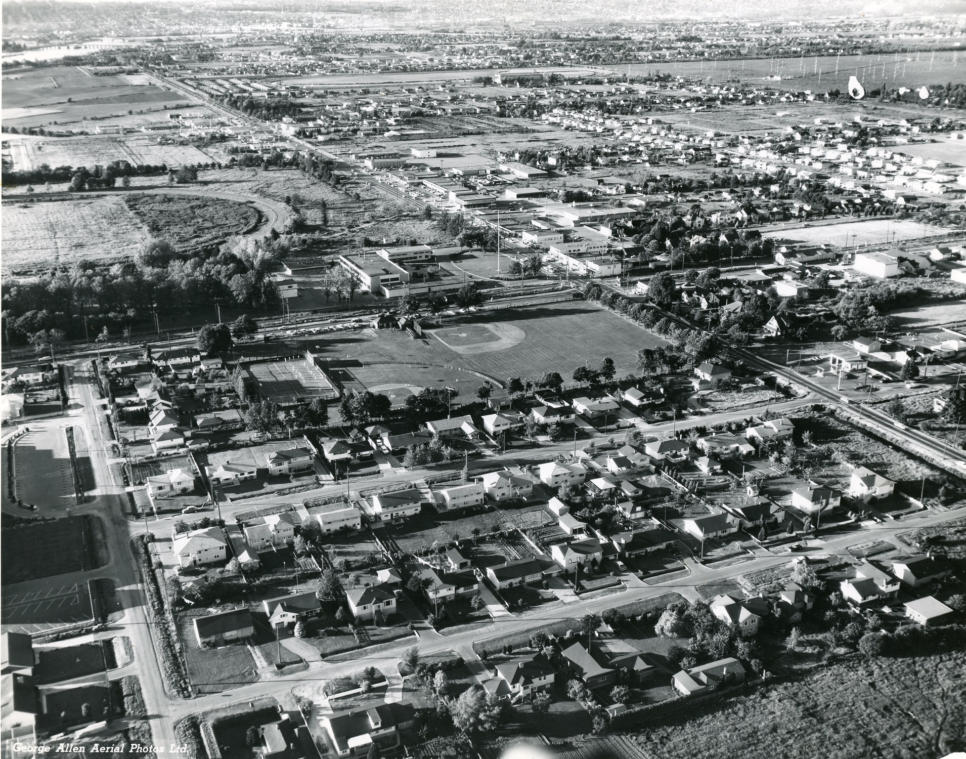
City of Richmond Archives photograph 1984 17 77.

The Corporation of the Township of Richmond, British Columbia

It is difficult to conclude that any one person can be said to have named Richmond. There are twenty-five signatures on the petition requesting incorporation so, obviously, a suggestion was made and a consensus was reached and, ironically, these flat, boggy islands were given a name that means “Strong Hill”. On December 3, 1990, Richmond lost its longtime designation as a Township and became the City of Richmond, having grown from a small farming district of 200 to 400 people into a diverse, multicultural city of over 200,000.

Moving Pictures – Movie Theatres in Richmond

Movie theatres are usually marked by a well lit marquee to attract the eye and advertise the features playing there. This example is from the Richmond Square Twin Theatres. City of Richmond Archives photograph 2008 39 2 16.

Motion Pictures have been entertaining people since the first public showings in the 1890s. In 1898, Vancouver’s first motion picture was played in a warehouse on Cordova Street by John A. Shuberg, a Swedish immigrant who had purchased one of Edison’s Kinetograph machines, the first commercially available projector. The show featured moving images from the Spanish-American War with Shuberg adding sound effects from behind the screen by banging sheets of tin and shooting guns. After a two-week sold out run he took the show on the road, building a portable tent theatre and touring around Canada and the United States. Upon returning to Vancouver in 1902 Shuberg opened the “Edison Electric Theatre” on Cordova Street, converting the Central Hotel into Canada’s first movie house. The movie industry has grown exponentially since those days, surviving the Great Depression, World Wars and predictions of its impending doom because of influences like television, home movie rentals and streaming services. Richmond has had a number of venues where locals could enjoy a the latest Hollywood release without leaving the community. Here are the places that they could go to enjoy a movie over the years.

This marquee pointed the way to Richmond’s Delta Drive-In Theatre. City of Richmond Archives, George Bergson photograph 2016 19 18217.

The Richmond Theatre

Eugene Greczmiel was a well-known and respected resident of Richmond whose life story is filled with tales of entrepreneurial determination and success. In 1929 he opened the Richmond Theatre, the first one in town. The theatre was located on Moncton Street in a building which survived the 1918 Steveston Fire and still stands today. Greczmiel played silent movies twice a week at the picture show and included imported Japanese films to attract moviegoers from the large Japanese Canadian population in Steveston.

This image of athletes participating in the first Kendo tournament held in Steveston is believed to have been taken inside the Richmond Theatre. City of Richmond Archives photograph 1977 7 4.

When “talkies” became the latest thing he built his own sound head for the projector for a cost of $175, saving thousands on the cost of buying one. In his own words, “It worked, but it wasn’t very good.” “Lots of music, little speech.” Around 1932 Mr. Greczmiel opened the Marpole Theatre on the Vancouver side of the River and the Richmond Theatre was closed. The building at 3700 Moncton Street was the location of the Redden Net Company for many years and at present is a dental office.

This building at 3700 Moncton Street was the location of Richmond’s first moving picture show. City of Richmond Archives, Graham Turnbull photograph.

The Steva Theatre

Richmond’s next movie theatre was also located in Steveston. In 1945, Washington Thorne moved to Richmond from Saskatchewan, along with his wife Helen and son Brian. Bemoaning the fact that Richmondites had to travel all the way to Vancouver to go to a movie, in 1946 he began the transformation of the former Japanese Buddhist Temple on First Avenue into a 420 seat movie house.

The Steva Theatre is shown here, ca. 1950. Playing the week the picture was taken were “The Flame and the Arrow” (1950) with Burt Lancaster and Virginia Mayo, “The White Tower” (1950) with Claude Rains and Glenn Ford and “Road Show” (1941) with Adolphe Menjou and Carole Landis. City of Richmond Archives photograph 2010 51 1.

The building was rewired and a decorative façade added to the front. Red leather seating with wooden arm rests were installed, a stage was erected and “teaser” curtains hung on either side to frame the twelve by sixteen foot, glass beaded movie screen.

A pair of reupholstered seats from the Steva Theatre are preserved in the Richmond Museum’s artefact collection. City of Richmond Collection 020.15.1

Restrooms, a concession stand and projection room were constructed. The Steva Theatre opened for business on October 3, 1947 with a sold-out showing of “Black Beauty” starring Mona Freeman and Richard Denning.

A light box sign from the Steva Theatre ticket office window. City of Richmond Collection 023.23.2

There were living quarters in the back of the theatre that the Thorne family occupied. The family also made up most of the theatre’s staff, Wash Thorne doing promotional work as well as operating one of the two projectors along with a hired projectionist, Helen and a friend took care of the ticket booth and concession stand and Brian sold popcorn outside to the people lined up on the sidewalk. Janitorial duties were shared by everyone. Three different movies were played each week and matinees for the kids were played on Saturdays. Even with a busy showing schedule like this, there was seldom an empty theatre. Mr. Thorne’s prowess at bidding for movies often resulted in new releases being shown at the Steva before they hit the theatres in Vancouver. Admission in the late 1940s was ten cents for features and five cents for matinees.

Special events to attract movie goers were another factor in the Steva’s success. “Foto Nites” were one event used by theatres around North America. Audience members and participants in an amateur contest would be given numbers. The winner of the contest would reveal their number and if an member of the audience had the same number they would have their “Foto” taken and be awarded the prize of $200, a nice sum in the 1950s! The “Foto” would be posted at the theatre, the whole procedure necessary to avoid breaking any laws about gambling or lotteries.

A program for movies showing at the Steva in February and March 1951. City of Richmond Collection S980.59.1

To take advantage of the 1950s 3-D movie craze, Mr. Thorne upgraded the theatre, installing a 20 HP generator, a new sound system and a polarized screen. In August 1953 Paramount’s first 3-D picture, “Sangaree,” played for a full week, followed by “House Of Wax” with Vincent Price in September. Cardboard 3-D glasses were included in the price of admission.

Ad for the first 3-D movie in August 1953. City of Richmond Archives Reference Files.

The Steva Theatre closed in 1960 and the building was sold in 1972. Today in the building where excited children filled the seats to see the latest Western, other children attend a daycare and children’s learning centre.

The Lulu Theatre

The March 5, 1947 issue of the Richmond Review announced the granting of two licenses for “Two New Theatres For Richmond – One at Steveston, One at Brighouse.” The one at Steveston was of course the Steva Theatre. The second, the “Brighouse Theatre” proposed by Peter Barnes of the Photo Night Company and backed by Harry Reifel, required the construction of a new building. There were many delays that affected the building of this theatre. Another company had already been granted a license in 1946 to build a theatre in the Brighouse area which stipulated that no other theatre could be built within two and one half miles. The failure of this company to show any progress on the project resulted in the withdrawal of their license allowing construction to begin. The building at 608 No. 3 Road was put up by Alex Mudry, A.G. Silverton and William Thomson who then sold it to Peter Barnes, “an expert at the business” who owned and operated theatres around the lower mainland and in Ontario.

The Lulu Theatre, shown here in 1958, was in the heart of Brighouse at 608 No.3 Road. City of Richmond Archives photograph 1988 18 31.

Barnes changed the theatre’s name to The Lulu Theatre and outfitted it with the “very newest of equipment.” The front of the building featured a neon lit marquee topped by a tall vertical floodlit structure with three foot tall red letters spelling the word “LULU”.

The interior of the theatre was decorated in shades of red and blue. Seating for 449 people was provided, upholstered in wine coloured fabric with wood arms. Carpeting was wine coloured and the draw curtain in front of the screen was in magenta with gold satin trim.

This January 4, 1956 ad from the Richmond Review shows the Thursday night prize for “Foto Nite” at the Lulu. “Foto Nite” promotions were used to attract patrons to theatres on normally low attendance nights in the 50s.

The Lulu had its first showing on May 12, 1948 with “Blue Skies” starring Bing Crosby, Fred Astaire and Joan Caulfield, a musical comedy based on a story by Irving Berlin. Opening night was attended by Reeve R.M. Grauer who congratulated Alex Mudry, A.G. Silverton and William Thomson on the accomplishment of having the theatre built and ready in only four months, introduced the owner and operator Peter Barnes and declared the theatre open. The Lulu played three different movies a week, featured “Foto-Nite” contests on Wednesday and Thursday and Saturday matinees. Admission for adults was 40 cents, children 20 cents, matinees were 25 cents for adults and children 5 cents.

This Lulu Theatre program advertises what’s on in October 1956. City of Richmond Reference Files.

It is not known exactly when movies stopped being shown at the Lulu Theatre but advertising for coming features in the Richmond Review newspaper stopped after the March 26, 1958 edition. The building remained in use as the home for a variety of businesses until it was demolished in the late 1990s.

The Delta Drive-In

The headline in the January 21, 1953 Richmond Review read, “Richmond to Have Drive-in Theatre For This Summer.” The Chechik Brothers from Mayer Enterprises had requested to Municipal Council that 40 acres of land purchased from L.F. Mitchell on No.5 Road, just north of Mitchell School, be rezoned to allow the construction of the “Fraser Drive-In Theatre.” The brothers were well prepared for their presentation to Council, with plans for dealing with traffic and noise and with references and photos from other communities where Mayer Enterprises had set up and operated other Drive-ins, proving that the development would be a “credit to the community.” The rezoning was granted after the obligatory waiting period and construction began.

An article in the Richmond Review announces the proposed Drive-In.

It only took ten weeks for construction to be completed. This included the laying of forty thousand yards of sand, twelve thousand yards of gravel and the driving of 20 piles to support the 50 foot wide screen. A building was erected to house the cafeteria style snack bar and projection room equipped with a 100 amp water cooled projector powered by a 20 horsepower generator. A playground was installed to keep the kids occupied while Mom and Dad enjoyed the movie with sound track provided by speakers which hooked inside the window of the car. The name of the drive-in had also been changed to the “Delta Drive-In”

This artist’s conception printed in the Richmond Review shows the plan for the proposed Drive-In Theatre.

In March a request to council was made on behalf of the owner of the Lulu Theatre for the rezoning of land next to the unfinished Delta Drive-In for the building of a second drive-in. This request was objected to by the RCMP, Public Works and community groups and was subsequently rejected.

The opening night announcement published in the Richmond Review on May 13, 1953.

The Delta Drive-In opened for business on Wednesday, May 13, 1953 with a showing of “Ten Tall Men,” a French Foreign Legion Action, Adventure movie starring Burt Lancaster. Also shown was the Walt Disney live animal Feature “Beaver Valley” and a cartoon. Admission for adults was 60 cents on weekdays, 75 cents on Saturdays and holidays, students (12 to 18 years) 40 cents on weekdays and 50 cents Saturdays and holidays. Children under 12 got in free.

This 1977 aerial view shows the Delta Drive-In with No.5 Road running diagonally behind the screen. City of Richmond Archives, George McNutt photograph.

The Delta Drive-In operated until 1980, featuring films of every genre and offering space for well attended “Swap Meets” on Sundays. By 1984 the land was being redeveloped for townhouse complexes and single family dwellings and the old entrance to the Delta Drive-In was replaced by Greenland Drive.

This 1981 image shows the Delta Drive-In sign, the speaker stands and the snack bar and projection building being torn down in the background. City of Richmond Archives, George Bergson photograph 2016 19 18218.

The Famous Players Richmond Square Twin Theatres

The Richmond Square Twin Theatres were located in the west parking lot at the Richmond Square Shopping Centre in a stand alone concrete building. It was Richmond’s first multi-screen cinema.

This image from the January 17, 1968 Richmond review shows the beginnings of construction on the Twin Theatres.
The Famous Players Richmond Square Twin Theatres. City of Richmond Archives photograph 1983 7 1.

The theatre opened on June 27, 1968 with the features “The Odd Couple,” starring Jack Lemmon and Walter Matthau and a Disney feature, “The One and Only, Genuine, Original Family Band” with Walter Brennan, Buddy Ebsen, Disney staple Kurt Russell and the film debut of his future wife, Goldie Hawn.

An opening night advertisement from the Vancouver Sun newspaper.

The theatre expanded to three screens in 1980 and had seats for 1126 people. In 1990 the theatres were closed and the building was demolished to make room for the construction of the Richmond Centre Mall parkade.

The demolition of the Richmond Square Theatres in 1990. City of Richmond Archives photograph 2008 39 4 591.

The Famous Players Richport Cinemas

Famous Players opened the Richport Cinemas on December 13,1985 at the Richport Centre at the intersection of No.3 Road and Ackroyd Road.

The Famous players Richport Cinemas in 1989. City of Richmond Archives photograph 2008 39 2 68.

The Cinemas had two screens, each seating 398 for a total of 796 seats. The feature attractions on opening night were “Rocky IV,” starring Sylvester Stallone and Talia Shire and “Spies Like Us” with Chevy Chase and Dan Aykroyd.

A December 10, 1985 Vancouver Province opening night advertisement for the Richport Cinemas.

Richport Cinemas were taken over by Cineplex Odeon following the opening of the Richmond Centre 6 by Famous Players. Due to competition from the SilverCity Riverport, the Richport was closed in 1999 and was renovated for use as retail space.

Famous Players Richmond Centre 6 Cinemas

Famous Players opened the Richmond Centre 6 Cinemas in the Richmond Centre Shopping Mall on November 23, 1990. Famous players President and CEO Ronald Emilio said, “We have created a completely new complex in the Richmond Centre to replace a triple screen theatre. The new complex will bring back a sense of occasion to moviegoing in Richmond.”

The Famous Players Richmond Centre 6 Cinemas marquee outside the west entrance of Richmond Centre Mall. City of Richmond Archives photograph, Accession 2009 16.

The entrance to the theatres was closest to the west entrance of Richmond Centre Mall. The lobby was designed to resemble a night time streetscape with marquees showing theatre names and movie titles. Each of the six screens at the theatre complex had an individual name, Century had 466 seats, Metro had 370, Rialto had 358, Majestic had 285, Olympia had 266 and Regent had 234 for a total of 1979 seats, including 28 wheelchair accessible ones. The theatres were equipped with large screens, Dolby SR sound systems, 70mm film capability and luxurious seating with plenty of legroom.

An opening night newspaper ad.

The feature films played on opening night were “Rocky V” starring Sylvester Stallone and Talia Shire, the Disney animated feature “Rescuers Down Under,” “Ghost” with Patrick Swayze, Demi Moore and Whoopi Goldberg, the World War Two bomber drama “Memphis Belle,” “Jacob’s Ladder” with Tim Robbins and “Three Men and a Little Lady” with Ted Danson, Tom Selleck and Steve Guttenburg. Cineplex Odeon took over operations of the Richmond Centre 6 in 2005 and the Famous Players Richmond Centre 6 Cinemas closed on March 27, 2011.

The Richmond Centre 6 Marquee inside the mall. Photo from Cinema Treasures website.https://cinematreasures.org/theaters/34887/photos/24666

Riverport SilverCity

The Famous Players Silvercity Riverport complex was built during a huge expansion of the company’s business, taking advantage of the latest advances in cinema and sound technology. The theatre was built at the massive Riverport Sports and Entertainment complex which included attractions like the Richmond Ice Centre, the Watermania Aquatic Centre, a bowling alley, brew pub, White Spot Restaurant, etc.

This image from the November 12, 1997 Richmond News shows the Silvercity Riverport still under construction.
An opening night ad from the December 17, 1997 Richmond News.

Famous Players Director of Public Relations, Dennis Kucherawy stated, “We’re building state-of-the-art theatres that will allow people to see motion pictures as they’re meant to be seen by directors, which is larger than life on a big screen with big sound.”

The $12.7-million, 7200 square metre, 12 screen complex opened on Wednesday December 17, 1997 with a special benefit night. Attendees were treated to the best movies of 1997 for a $2.00 admittance fee and half price food. All proceeds from the night were to benefit Ronald McDonald House. An additional six screens and an IMAX theater were opened on December 18, 1998 bringing the total number of theatres to 19 with seating for a total of 4,508, with the smallest theatre seating 168 and the largest 446.

Cineplex Odeon took over operations in 2005. The Cineplex Odeon Silvercity Riverport remains today as Richmond’s only remaining movie business, but offers more individual screens than all the its predecessors combined.

The Riverport Silvercity Cinemas, 2023. Google Maps photo.

Who knows what the future of the movie theatre will be? In spite of the easy availability of movies, streamed straight to big screen televisions in the comfort of your own home, the experience of going out to the movies with other people still remains popular. Theatres have evolved to entice modern audiences with comfortable seating, amazing sound systems and high definition projection. Concession sales make up a large portion of the profits earned by theatres today and while traditional theatre snacks like popcorn, soft drinks and candy are still there, wraps, sandwiches, hot dogs and nachos are now available, along with a side of fries or poutine. Other features like arcades, bowling alleys and even bars offer other activities for moviegoers. It seems like the days of going to the movies in Richmond will be with us into the foreseeable future.

Japan Town – Steveston in the 1930s

Richmond has a long and rich history of Japanese immigration and settlement. Various places around Richmond, Sea Island, Don Island and, in particular, Steveston were areas where Japanese immigrants lived, worked, raised families and contributed to the diverse cultural blend of our city.

Steveston looking west along Moncton Street from No.1 Road around 1940. The majority of the businesses along this street were operated by Japanese-Canadian entrepreneurs at the time. City of Richmond Archives photograph RCF 274.

Japanese immigrants (Nikkei) arrived in Steveston around the time that the English Cannery opened in 1882 and by the 1900s made up a large portion of the Steveston population. Mostly male and mostly fishermen, they were accommodated in bunkhouses built by the canneries. During the fishing season Japanese “Bosses,” who had control of twenty or thirty boats, would negotiate contracts with the canneries for them and take care of their needs such as food, clothing and other services in return for a percentage of their wages.

This image taken on November 22, 1936 shows members of the Japanese community gathered outside the Japanese Buddhist Mission on First Avenue to commemorate the ceremony of “Putting in the Buddha.” City of Richmond Archives photograph 1995 3 1.

Although the original intention of many of the men was to return to Japan after working in Canada, many decided to stay permanently. Some returned to Japan to find wives, others had their families back home arrange marriages with suitable women, the so-called “Picture Brides”. Bunkhouses were unsuitable for married couples, so canneries built small houses to accommodate families.

A group of Japanese girls pose for a picture in traditional May Day dress outside the Steveston Japanese School ca. 1926. City of Richmond Archives photograph 1978 1 36.

The Nikkei population grew, the men fishing and their wives working in the canneries and raising families. They diversified, expanding into boatbuilding, buying property, farming and starting businesses. People joined Faith communities, formed sports teams and created a rich community life.

The Steveston Fuji baseball team played in the Vancouver Japanese League with the Asahi Giants, Powell Drugs and Union Fish teams. City of Richmond Archives photograph 1977 7 12.

Contending with discrimination and exclusion, The Japanese Fishermen’s Benevolent Society was formed in 1897 to protect the interests of the Nikkei fishermen and the community, A 1906 decision by the Richmond School Board to ban children of non-property owners effectively deprived most of the Nikkei children of an education and resulted in the construction of the Steveston Japanese School. To ensure that the health needs of the community were met, the Japanese Fishermen’s Hospital was built, Richmond’s first.

The Japanese Fishermen’s Hospital on No.1 Road in Steveston, ca. 1915. City of Richmond Archives photograph 2006 39 47.

By the 1930s the Japanese population had grown to account for two-thirds to three quarters of the total population of Steveston, approximately 3500 people. Nikkei owned businesses and stores of every description lined Moncton Street from No.1 Road to Third Avenue. Grocery stores, meat and fish markets, hardware and general stores, a bicycle shop, the River Garage, a billiard hall and clothing stores operated by Nikkei entrepreneurs could be found on both sides of the street. Five confectioneries (candy and chocolate shops) satisfied those with a craving for sweets.

The Mukai Confectionary stood at the corner of Moncton Street and No.1 Road and had a confectionary in the front, a pool hall in the back and ten bedrooms upstairs. It also housed a taxi business and had space used by a dentist who came to Steveston once a week. The building was lost in a fire sometime between 1942 and 1951 but the location is still known as Mukai Corner. City of Richmond Archives photograph RCF 272.

The density of the Japanese Canadian population in Steveston is very obvious when looking at the meticulous research done by Haruji (Harry) Mizuta who, using maps from the 1936 Waterworks Atlas of Richmond, marked the locations of Nikkei homes and businesses from the Scottish Canadian Cannery in what is now Garry Point Park to the Winch Cannery at the foot of No.2 Road. This is especially true with the map he marked as #30-2 1930s – Gulf of Georgia Cannery and Old Steveston Town – Steveston BC.

This map, created by Haruji (Harry) Mizuta illustrates the quantity of Nikkei homes and businesses, marked by blue and red dots, in Steveston during the Thirties. City of Richmond Archives Reference Files.

The growth of “Japan Town” came to a sudden halt with the forced relocation of Japanese Canadians from the Coast of British Columbia. Families were uprooted, stripped of their property and moved to areas where they had to start over and rebuild their lives, often in harsh circumstances. Steveston became a virtual ghost town with so many of its residents suddenly gone. In 1949 when Nikkei families were permitted to come back to the coast, those who decided to return rebuilt their lives and community again. Today the legacy of Japan Town is a cherished and honoured part of Steveston’s and Richmond’s history.

Haruji (Harry) Mizuta’s research shows some of the businesses and business owners along Moncton Street during the 1930s. City of Richmond Archives Reference files.

Peace Together – Ling Lam and the Hong Wo Store (同和)

Ling Lam 林德調 (City of Richmond Archives accession 2013 52.)

In 1890, a 17 year old boy arrived in Vancouver from China on the ship SS Abyssinia. In Vancouver, Chung Ling Lam* 林德調 studied English at the Chinese Methodist Church and worked in the canneries in Steveston. He started out in business by teaching himself how to bake bread and peddled buns door-to-door around Steveston. In 1895 he bought property and opened a store which became one of those places that embeds itself into a community’s collective memory.

Translating as “Peace Together” or “Living in Harmony”, this sign (to be read from right to left) was located on the wall inside the Hong Wo Store (同和) and is now one of four signs from the store in the Richmond Museum’s collection. (City of Richmond Collection 006.23.20)

Ling Lam named his business Hong Wo, meaning “Peace Together” or “Living in Harmony”. Located outside the dyke near the foot of Trites Road and near the Nelson Brothers Cannery, the place was a true General Store. If you couldn’t get what you needed at the Hong Wo Store, you probably couldn’t get it anywhere. The building was located adjacent to a wharf where fishboats could tie up and get supplies before the next fisheries opening. To streamline the process an order form was developed and issued to the fisherman who could check off the items they needed and the order would be ready for pickup at the specified time. He sold provisions to fishermen, canneries, boatbuilders, farmers and the general public.

Filling out this order form would ensure that your order would be ready and waiting for you to pick up at the wharf behind the Hong Wo Store. (City of Richmond Archives accession 2013 46.)

The lot that Mr. Lam had built his store on was approximately 235 feet wide by 425 feet long (2.27 acres), and extended over the dyke to the high water line. Mr. Lam also acquired acreage north of that lot which was bordered on the north side by the CN Railway right-of-way and on the east by Trites Road (1.3 acres). Open fields to the north of the railway line (11.03 acres) became his farmlands, another arm of his business.

Property owned by the Hong Wo Company is outlined in red in this image cut from the 1936 Waterworks Atlas. Buildings are identified in the image including the pickle factory, greenhouses, bunkhouses and the store at the lower left. City of Richmond Archives image 1991 40 23 – Waterworks Atlas.
Nestled between cannery buildings, the Hong Wo property can be seen near the centre of this image from 1952. The roofs of Mr. Lam’s greenhouses can be seen near the CN Rail line and the pickle factory near Trites Road. Hong Wo and Company farmland is above the rail line. (City of Richmond Archives photograph 1997 16 92.)

Once Ling Lam had his retail and farming businesses running, he returned to China to get married. His wife, Chew Shee Lam 趙氏, arrived in Canada in 1899 and they lived in an apartment above the store. Around 1908 the store was destroyed by fire and the family moved into a cannery house until the new store was built. The Lam children walked three miles along the dyke into Steveston to go to school. With the business and farm prospering, Mr. Lam moved the family into a house in East Vancouver around 1914.

The Lam Family home in East Vancouver with the family standing on the front porch, ca. 1914. (City of Richmond Archives photograph 1986 17 1.)

To order stock for the store in the early days, Mr. Lam would ride a bike to New Westminster to his supplier’s offices. The order for the season would be delivered by boat to the wharf and shed behind the store. The bicycle was eventually retired when a telephone was hooked up in the store, one of the first in Richmond, and orders could be phoned in.

The Hong Wo Store was a place for people to drop by, have a chat and pick up what they needed. In this photo Jessie Lam Ross, the daughter of Ling Lam, visits with customers under the sign reading “Peace Together” or “Living in Harmony”. (City of Richmond Archives photograph 1987 22 179.)

Around 1914 Mr. Lam began to act as a labour contractor to two canneries, providing seasonal Chinese workers. He also employed the workers on his farms, supplying accommodations, food and a cook for a temporary crew of about 30 during the growing season and harvest. A full time foreman, assistant and truck driver were also employed.

The entrance to the Hong Wo General Store in 1969. The fishboat and cannery buildings in the background show its proximity to the water. (City of Richmond Archives photograph 2006 13 13.)
Like many businesses Hong Wo and Co. distributed calendars, like this 1949 example, to their good customers. (City of Richmond Collection 008.4.2)

During its peak, the farms owned by Mr. Lam produced tomatoes from about 30 greenhouses. Potatoes and beans were grown in the open fields along with a large crop of cucumbers for pickles. A complex of buildings was built on the lots south of the rail line. These included a pickle factory, complete with at least 20 eight-foot deep concrete vats for brining, storage buildings and greenhouses. Several bunkhouses were located on the property as well as a cookhouse with a large brick and metal wok and a building where barrels were assembled. Mr. Lam also invented a machine to sort cucumbers for dill pickles, a product which formed a large part of his farming business.

Work clothes, ice cream, instant mashed potatoes, Seven-Up and marine enamel all vie for space on the shelves of the Hong Wo Store. (City of Richmond Archives photograph 1987 22 171B.)

As reported by his daughter Jessie Lam Ross in a 1968 Richmond Review newspaper article, “He was a big name among the Chinese growers. He contracted with Empress, Royal City, Nalley’s, and other companies, and kept about 250 acres under cultivation in Steveston. Day and night he was on the go. He used to haul cukes in and pile them in huge stacks for the dill pickles.”

Looking west along the dyke path between the buildings on the Hong Wo and Co. property in 1967. The store is the last building on the left. (City of Richmond Archives photograph 1994 22 1.)

Ling Lam was also very active in Vancouver’s Chinese community, acting as the chairman of the Chinese Merchant’s Association, serving as an Elder in the Chinese United Church and starting the Chinese Farmer’s Association. He was known as a dedicated, principled, hard working man.

Some of Ling Lam’s buildings were still standing when this photo was taken in 1970. The pickle factory is the building on the far right. (City of Richmond Archives photograph 1987 22 152B.)

“I never saw him in work clothes,” his daughter Jessie remembered,” He always wore a blue serge suit and, in the summer, a shirt and tie and blue serge pants. He only took two holidays in his life, and then it was to go to California to look for seeds.”

Stock on the shelves at the Hong Wo Store. At its peak the store employed as many as 9 clerks. (City of Richmond Archives photograph 1987 22 180.)

After Mr. Lam’s death in 1939, his son George Lam and daughter Jessie Lam Ross took over his business, operating his store until 1971. With the store’s closure the property and buildings on it began to deteriorate, causing concern for the owners of nearby cannery buildings after several fires had been extinguished by the Richmond Fire Department. Efforts by the Steveston Historical Society to have the Hong Wo buildings declared a heritage site proved to be in vain and the store and surrounding buildings were destroyed in 1977.

The Hong Wo Store in 1977, boarded up and nearing its demolition. (City of Richmond Archives photograph 1978 37 22.)

While the Hong Wo Store has been gone for nearly half a century its 75 years of service to industry and community make it one of the unique components of Richmond’s history. The store’s story and that of Ling Lam, a self-made man who built a thriving business from humble beginnings, are memorialized in a sign at the corner of Trites Road and Westwater Drive near the location of his pickle factory.

*This blog post follows Western conventions of naming with the given name preceding the surname.

Reach for the Sky – The Dawn of the High-Rise in Richmond

Up until the 1960s  Richmond was a “low-rise” community, the tallest buildings being the grandstands at the two thoroughbred racetracks in the municipality and the industrial buildings like canneries and mills. Richmond’s Zoning Bylaw had restricted building height to no more than three storeys above natural grade before the late 1950s. However, the increasing rates of population growth, brought on by the completion of the Oak Street Bridge in 1957, spurred the construction of residential subdivisions and the Municipal Government began to change Richmond’s Zoning Bylaw 1430 to permit higher density housing.

An aerial view of the Brighouse area in 1963 shows no buildings over three floors. City of Richmond Archives photograph 1984 17 65.

Richmond’s surface soil profiles have been studied and show that most of the land west of No. 3 Road has a clay cap about 3 metres in depth with sand or silty sand below. East of No. 3 Road there is typically a layer of peat up to 7 metres deep, then a 3 metre deep layer of clay underlain by sand. In the event of a major earthquake studies have shown that the most likely place for liquefaction (the loss of strength of soils due to vibration) to occur will probably be in a limited zone below the clay layer. As better understanding was reached of Richmond’s underlying soil conditions and how its soils react to supporting buildings in varying conditions, including earthquakes, site preparation and foundation construction techniques were adopted allowing taller structures to be built. Buildings in Richmond have to be built stronger and with greater attention to foundation design than similar buildings in Metro Vancouver which can be fastened to bedrock.

The first step in any construction is the provision of a soils report which addresses structural foundation support and the liquefaction potential of the soils in the building site. Structural drawings approved by a Professional Engineer deal with seismic design and the details of the soils report. Preparation of building sites for construction involves the densification of the soils with a preload of sand to a predetermined height and for a specified length of time. This compresses the soil and removes ground water to increase its load bearing capabilities. Various types of compaction using vibration are also commonly employed to increase the removal of ground water from the soil.

This photo shows concrete pilings which support the weight of buildings on soil below the liquefaction zone, in this case at the construction site of Richmond City Hall. City of Richmond Archives photograph.

Most buildings over three storeys high are placed on pile foundations which support the building on soil below the liquefaction layer. Concrete “Franki” piles, reinforced concrete pilings forced down a metal tube and which expand out the bottom in a large bulge, provide structural support. Stone columns and timber “compaction piles” are often placed in a pattern around support pilings to further eliminate water from the soil supporting the building. All of the methods of supporting the building structure and compacting the soil create a large block of dense soil beneath the building site, essentially an artificial bedrock.

Richmond General Hospital was Richmond’s tallest building for many years. At six storeys it did not quite make the height required to be called a high rise. City of Richmond Archives photograph, accession 2004 11.

The first building to exceed the three-storey limit was the new Richmond General Hospital. At six storeys it did not quite qualify as a high-rise building, the standard being seven storeys or more, but it had been designed with the ability to be expanded to nine storeys and for years it was the tallest building in Richmond. The hospital opened on February 26, 1966. Plans to add an additional three storeys to the building in 1972 were quashed, however, due to changes in the National Building Code for 1970 which dramatically increased the specifications for earthquake building loads.

With the new changes in the building code the stage was now set for the construction of true high-rise buildings in Richmond. Through the early 1970s the Richmond Review newspaper announced the planned construction of the first buildings, a seven-storey seniors’ residence, two hotel towers, and three seventeen-storey apartment buildings.

Public opinion about the changing Richmond skyline was mixed, with very vocal opponents to the flat terrain of the community being “splattered with 200 foot towers”. Residents around the 1000 block of Ryan Road were so outraged at the plans for the construction of a fourteen-storey tower as part of an apartment development in their neighborhood that 150 of them showed up at a Municipal Council meeting to protest. Citing a complete lack of consultation they managed to have the proposed development cancelled.

The March 18, 1970 Richmond Review showed this photo of the proposed Lions Manor building. At the time it was published, the location of the building had still not been settled.

The Richmond Review newspaper announced the construction of a $1.2 million apartment block for seniors on March 19, 1970. The seven-storey concrete building, planned since 1968, would fill a need for affordable senior’s housing with room for 144 people living in single suites. Occupancy would be limited to persons having an income of $150 per month or less and rent would be $110. The project had been in planning for many years by the Richmond Lions Club. The location chosen to build the residence was on Aquila Road, but opposition from neighbours forced a change of location. Seventh Avenue in Steveston was suggested as an alternate site, but eventually a property at 1177 Fentiman Place in Steveston was approved for its construction.

By December 8, 1971 the building structure was almost complete. Richmond Review.

Described as “like a hotel for old people – all they have to do is dress themselves and come to the dining room to eat”, the rooms each had a bed, chair, clothes closet, dresser, desk and wash stand. Each floor had a lounge and a washroom with four private tubs. The top floor featured a library and the main resident lounge while the main floor housed the kitchen and dining room as well as a crafts room, laundry and visitor’s lounge. Construction began on the manor in 1970 and the first 15 guests had moved in by November 1972.

In this aerial view looking over Steveston the Lions Manor is clearly visible at the centre left. City of Richmond Archives photograph 1977 22 2

On April 12, 1971 the Review announced the Municipality’s “first high rise complex” to be built on Minoru Boulevard. Expected to cost $8.25 Million, it consisted of three seventeen-storey towers, two to be built in the first phase of construction with the third to follow later.

An artist’s drawing of the Park Towers complex from a brochure at the City of Richmond Archives.

The entire complex was to provide 561 dwellings. Foundations for the towers used Franki concrete pilings about every four feet on centre with concrete beams on top to support the buildings.

The first two towers of the Park Towers development near completion in this photo. City of Richmond Archives photograph 2019 24 1.

The project was proposed in 1969 by well-known developer Ben Dayson of Highgate holdings who had previously built the three-storey Minoru Garden Apartments next door to the high rise building site. The first two towers (“Towers C and B”) were ready for rentals by November 1972. Apartments in the third tower (“Tower A”), completed the following year, were sold as condominiums.

The three buildings of the Park Towers, Richmond’s first high rise apartment complex, dominate the skyline of downtown Richmond, ca. 1976. City of Richmond Archives photograph 2008 36 3 75.

In May of 1971 the construction of the Vancouver Airport Hyatt House hotel complex was reported. The hotel was to include a 10-storey tower, 431 rooms, ballroom and meeting rooms, a 200 boat marina, and three restaurants (one on “stilts” over the Fraser River), all built on a seven acre site on Sea Island.

This architectural drawing shows the proposed Airport Hyatt on the bank of the Middle Arm of the Fraser River. City of Richmond Archives photograph.

The building height had been restricted to 135 feet above ground level because of its proximity to the airport and had to have non-metallic roof sheathing so as not to interfere with navigational signals.

Construction is underway at the site of the new Airport Hyatt in this Richmond Review clipping from January 12, 1972.

The site was prepared with an 18 foot high preload of sand which sat for one year before construction began, compacting the soil 60 to 70 feet down. Three hundred and sixty Franki piles were spanned by two-foot by three-foot concrete beams which are in turn supporting a 3 1/2-foot concrete slab. Rising above the slab is the Y-shaped tower of the main structure. The Hotel opened for business in early June 1973.

The Delta Airport Inn before the construction of the first tower. City of Richmond Archives photograph 1988 18 77.

In June 1971, construction began on an expansion of the Delta Airport Inn on St. Edwards Drive which would involve the erection of a fourteen-storey tower with 144 suites and the renovation and expansion of the existing hotel amenities. The upgrade to the hotel, in the planning stages since 1969, was expected to cost $2.5 Million.

This architect’s drawing shows the planned expansion of the Airport Inn. A second, taller tower has been added since. Photo from January 14, 1972 Richmond Review.

A preload of 25,000 yards of sand had already been in place before the project was announced in the June 9, 1971 Richmond Review and 126 piles had been driven 40 feet into the ground at the site to compact the soil and support the building. It was expected that after the completion of the first floor, each floor would only take one week to build. The tower had been completed by March 1972 and the rooms ready for guests by April.

By October 15, 1971 the Airport Inn claimed to have the highest view in Richmond. Richmond Review photograph.

These first four high rise building projects began a trend which continues today, and high rise buildings have come to dominate the city’s skyline, especially in the City Centre area. Which was Richmond’s first high rise? All four were under construction at the same time but by opening date, the Delta Airport Inn’s tower (now the Sandman Signature Airport Hotel) was the first in March 1972, followed closely by the Lion’s Manor and the first phase of the Park Towers in November 1972. The Airport Hyatt House Hotel (now the Pacific Gateway Hotel) on Sea Island was opened fourth, the following March. All of the buildings are still in use except for the Lion’s Manor which was demolished in 2014.

Richmond’s high rises are dwarfed by other buildings in the Metro Vancouver area. Transport Canada  mandates through the Vancouver Airport International Zoning Regulations that buildings in Richmond not exceed 47 meters (150 feet). There has been a study around the possibility of an increase in allowable building heights in the Brighouse area, something that is still ongoing, and it is possible that someday we may see buildings in Richmond that rival some of the “skyscrapers” seen in other cities.